Tour du Mont Blanc (TMB)
170 km and +10,000 m Trail running, Alps
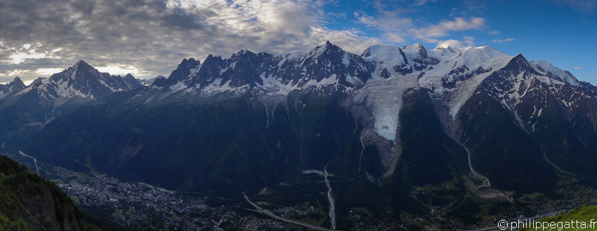
Tour du Mont Blanc: 170 km and +10,000 m Trail running, France (© P. Gatta)
About the Tour of Mont Blanc (TMB)
The Tour du Mont Blanc (TMB) is an amazing long distance trek accros three countries: France, Switzerland and Italy. It circles the Mont Blanc Massif covering a distance of roughly 170 km with 10,000 m of ascent. The full trek is usually done anti-clockwise in 7 to 10 days. It is more and more done by trail runners in 3 to 5 days and even in less than 21 hours during the Ultra-Trail du Mont-Blanc (UTMB) ultramarathon. It is described here as a four stages trail running. There are plenty of Refuges (hut) or hotels along the way which gives a lot of flexibility for the stages.There are several possible start points in Chamonix, Les Houches or Les Contamines in France, or Courmayeur in Italy, or Champex-Lac in Switzerland. There is a main route and multiple alternatives, called TMB Variantes. Some of the Variantes cross higher passes, staying closer to the mountains, while others follow lower trails and are less demanding. The TMB crosses many passes and valleys: Chamonix, Montjoie, Vallee des Glaciers, Val Veni, Val Ferret and Trient. Some parts of the TMB are common with the GR5, a footpath crossing the Alps.
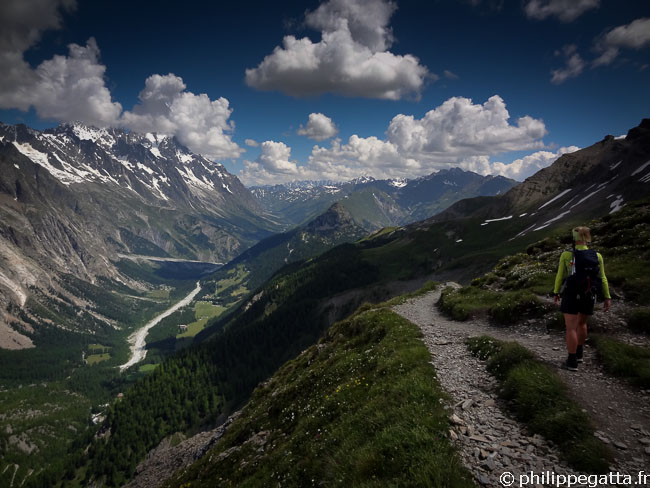
Anna toward Col Ferret (© P. Gatta)
Tour du Mont Blanc (TMB) in 4 days
We decided to run the TMB in 4 days to get the time to enjoy the scenery and take plenty of photos and videos. We also decided to follow some variantes to stay at higher altitude and closer to the mountains. Here are the variantes we chose:- Trient - Col de Balme - Tré-le-Champ
- Flégère - Le Brévent - Refuge Bellachat
- Col de Voza - Col de Tricot - Chalets de Miage - Les Contamines-Montjoie
We started from Courmayeur which was more convenient for us but as said earlier, there are many possible starting points. Here are our 4 stages:
- Courmayeur - Champex-Lac
- Champex - Refuge de Bellachat
- Refuge Bellachat - Refuge du Col de la Croix du Bonhomme
- Refuge du Col de la Croix du Bonhomme - Courmayeur
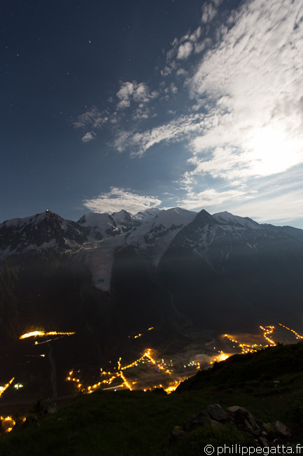
Mont Blanc and Chamonix by night from Refuge Bellachat (© P. Gatta)
Day 1: Courmayeur - Champex: 48 km and +2513 m / -2258 m
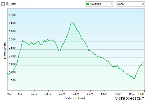
TMB: profile of the first day (© P. Gatta)
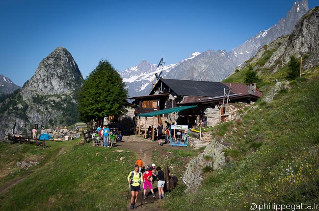
Refuge Bertone (© P. Gatta)
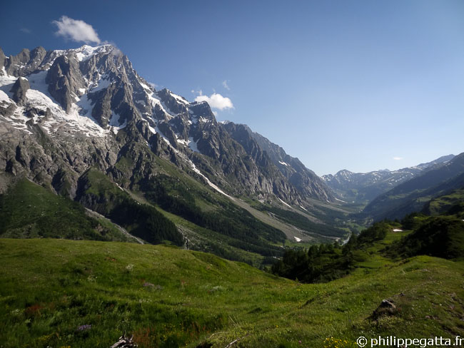
TMB: after Refuge Bertone with the Grandes Jorasses behind (© P. Gatta)
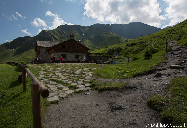
TMB: Refuge Bonatti (© P. Gatta)
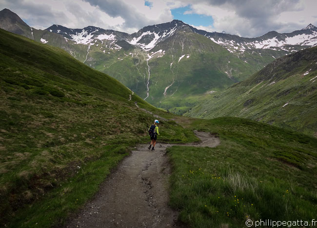
TMB: Anna toward Col Ferret (© P. Gatta)
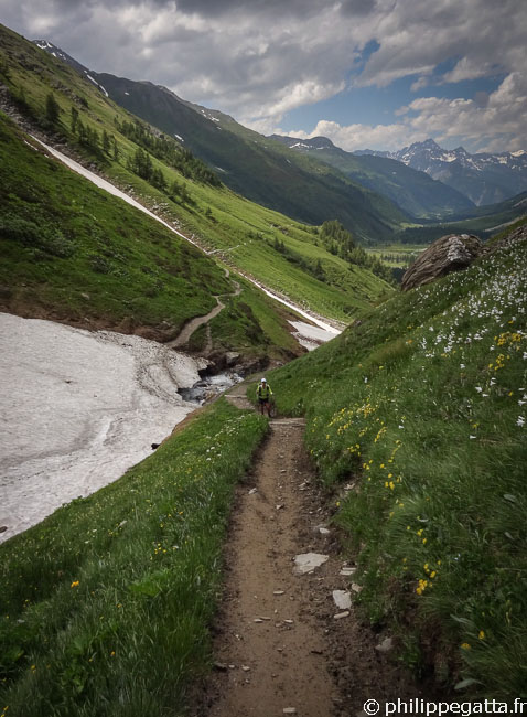
TMB: going down from the Grand Col Ferret (© P. Gatta)
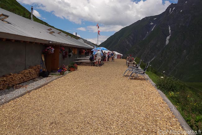
TMB: Refuge La Peule (© P. Gatta)
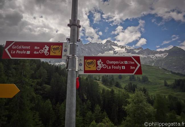
TMB: Village of La Ferret (© P. Gatta)
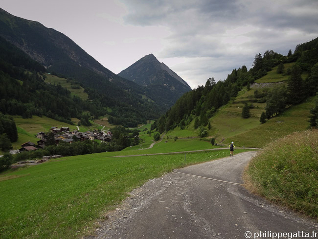
TMB: Issert, Champex is not far (© P. Gatta)
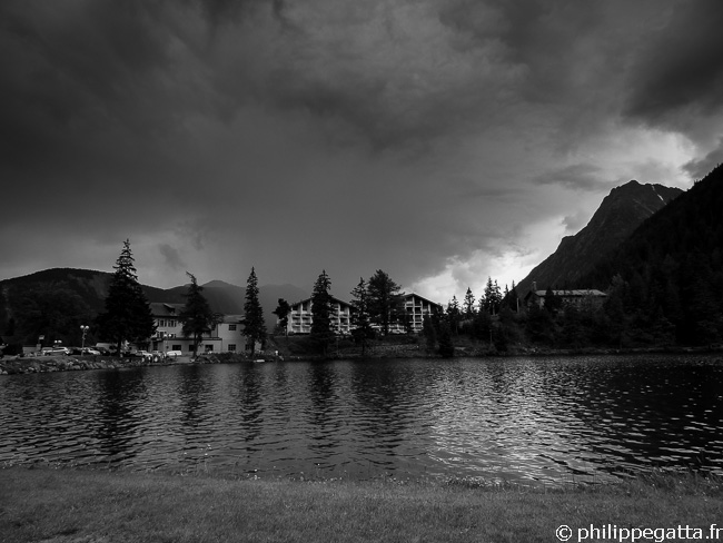
TMB: Champex and its lake (© P. Gatta)
Day 2: Champex - Col de Balme - Refuge de Bellachat: 45 km and +3216 m / -2559 m
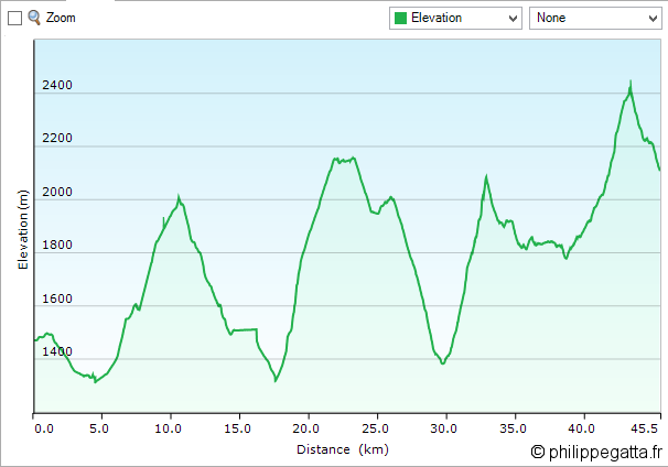
TMB: profile of the second day (© P. Gatta)
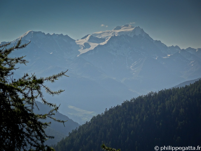
TMB: Grand Combin seen from the trail to Bovine (© P. Gatta)
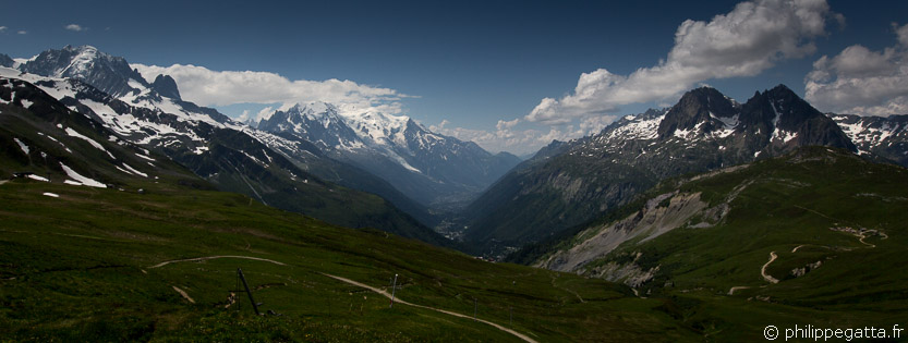
TMB: view over the Chamonix valley from Col de Balme (© P. Gatta)
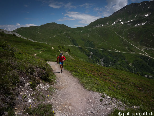
TMB: Descent from Col de Balme (© A. Gatta)
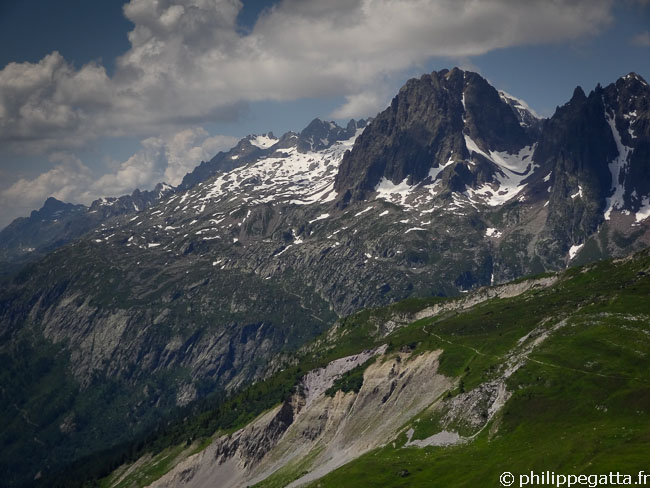
TMB: Montagne de la Flégère (© P. Gatta)
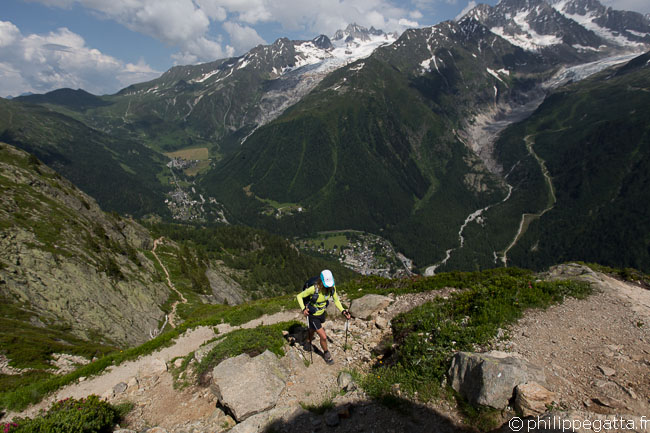
TMB, trail to Flégère (© P. Gatta)
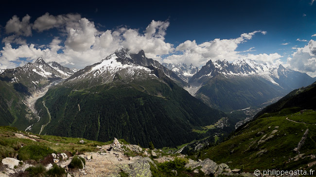
TMB: amazing view going to Flégère (© P. Gatta)
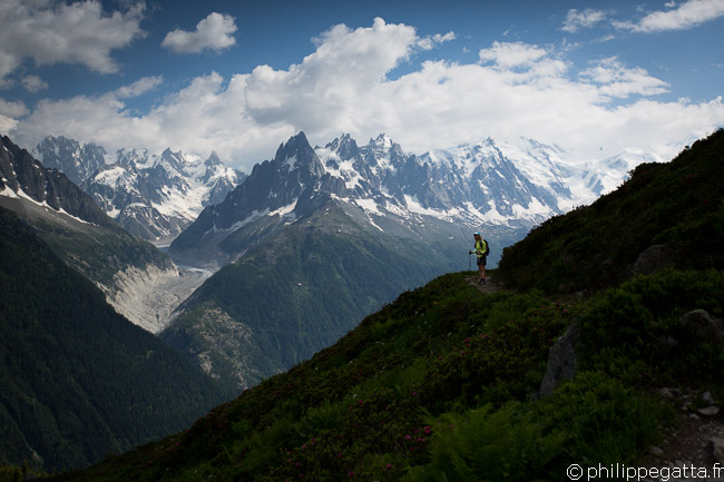
TMB: Mont Blanc Massif (© P. Gatta)
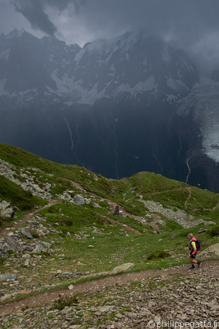
TMB: Between Brevent and Bellachat (© P. Gatta)
Day 3: Refuge de Bellachat - Col du Tricot - Croix du Bonhomme: 41 km and +2752 m / -2465 m
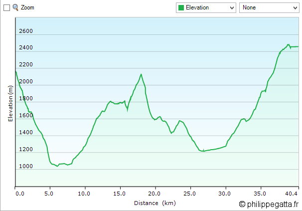
TMB: profile of the 3rd day (© P. Gatta)
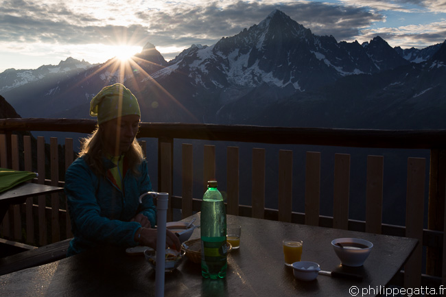
TMB: breakfast at Bellachat (© P. Gatta)
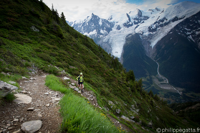
TMB: descent from Bellachat to les Houches (© P. Gatta)
From the Col de Voza follow a good trail to Bellevue. Les Houches - Bellevue: 6 km, +750 m. Then continue on a single track in a forest to the Chalet de Tricot. From the Challet to the Col de Tricot it is 2 km, +415 m on a good trail. Amazing view over the Aiguilles of Gouter and the North face of Bionnassay.
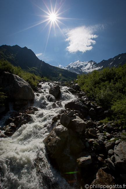
TMB: crossing a river below the Glacier of Bionnassay (© P. Gatta)
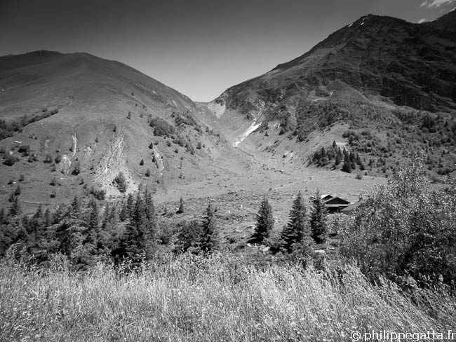
TMB: Col du Tricot (© P. Gatta)
That is where the long climb to the Col du Bonhomme starts: 12.6 km, +1320 m. The first section up to the Notre dame de la Gorge is not very steep and on an easy trail.
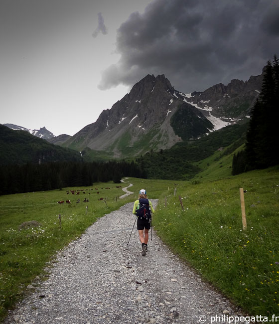
TMB: on the way to the Col du Bonhomme (© P. Gatta)
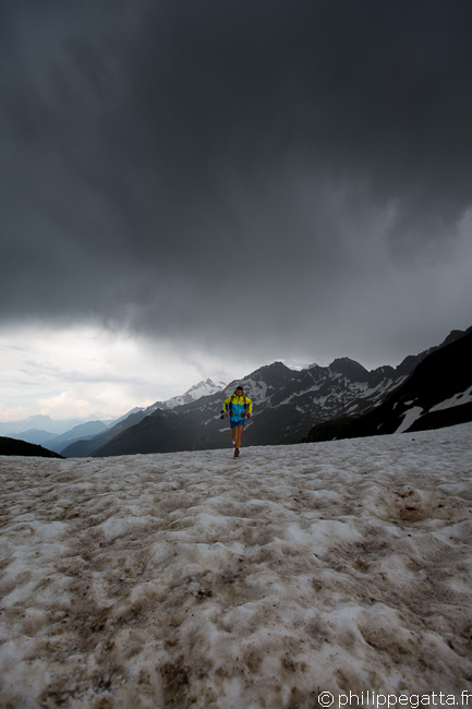
TMB: Col du Bonhomme (© A. Gatta)
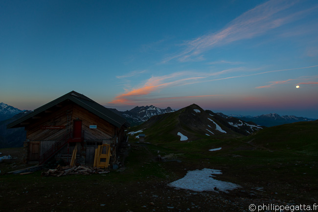
Sunrise and full moon over the Refuge de la Croix Col du Bonhomme (© P. Gatta)
Day 4: Refuge de la Croix du Bonhomme - Courmayeur: 35 km and +1452 m / -2610 m
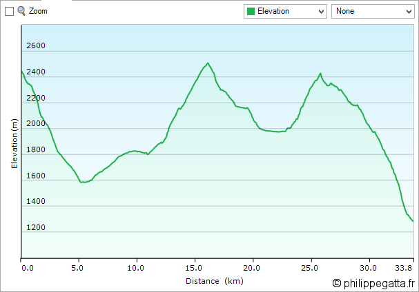
TMB: profile of the 4th day (© P. Gatta)
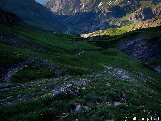
TMB: descent from la Croix Col du Bonhomme to Chapieux (© P. Gatta)
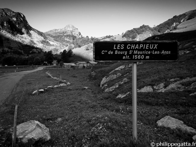
TMB: Les Chapieux (© P. Gatta)
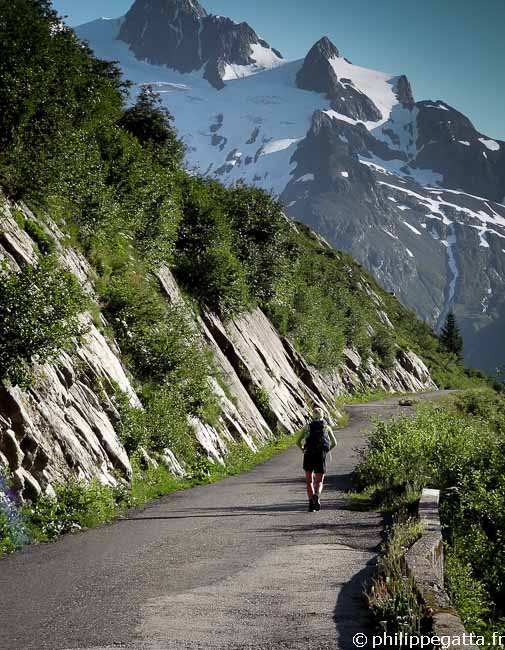
TMB: between Les Chapieux and La Ville des Glaciers (© P. Gatta)
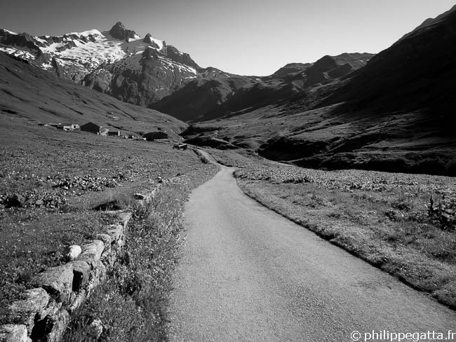
TMB: La Ville des Glaciers (© P. Gatta)
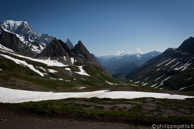
TMB: view from Col de la Seigne, Mont Blanc on the left (© P. Gatta)
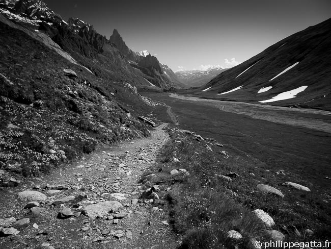
TMB: trail along the Val Veni (© P. Gatta)

TMB: Val Veni (© P. Gatta)
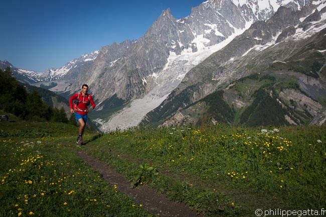
TMB: Val Veni (© A. Gatta)
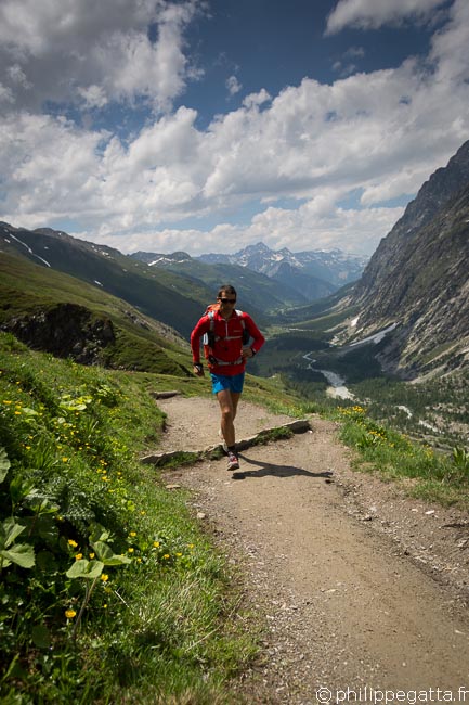
TMB: Val Veni (© A. Gatta)
