Search
Close this search box.

Tour du Mont Blanc (TMB)

170 km and +10,000 m Trail running, Alps
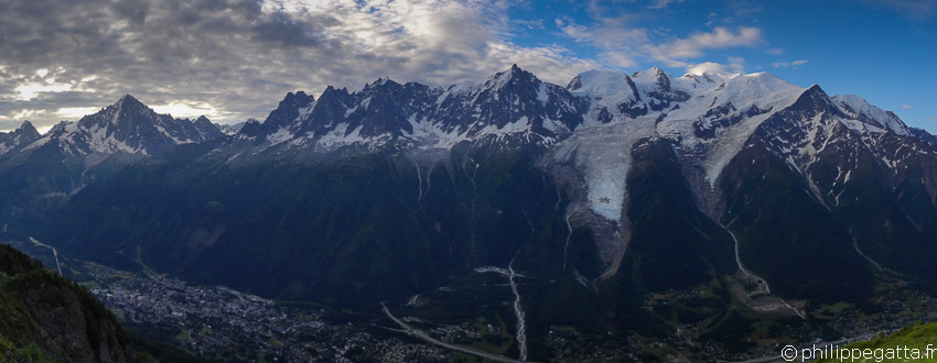
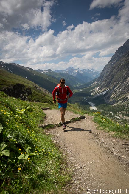
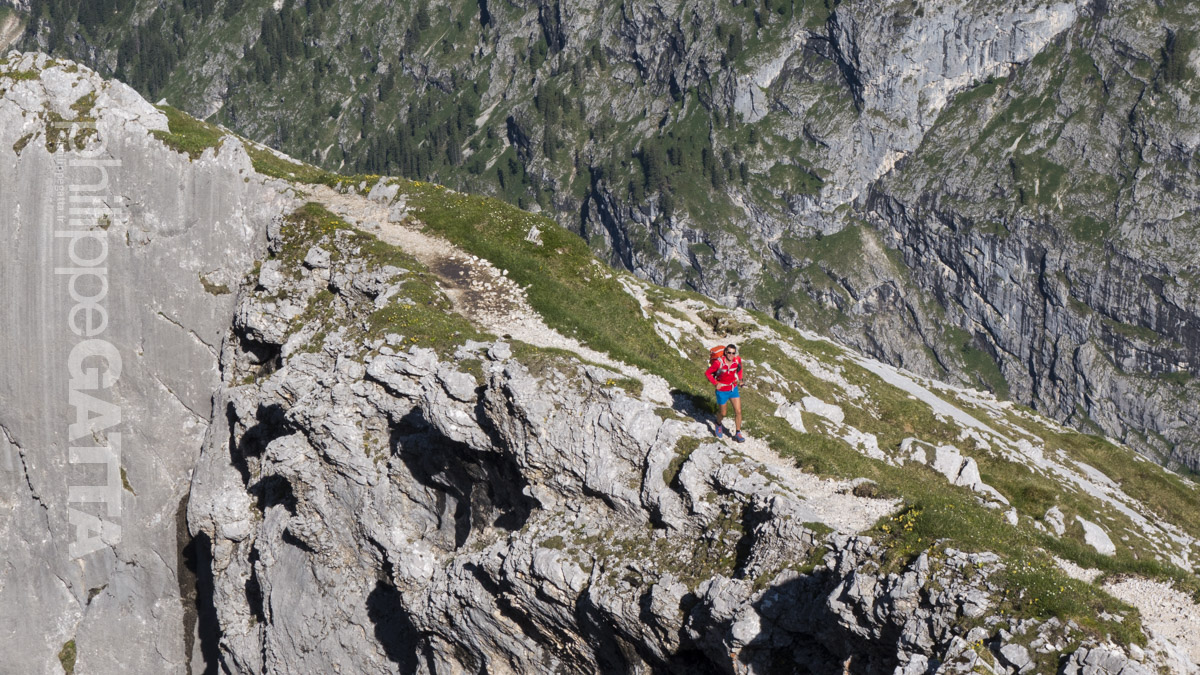
Tour du Mont Blanc: 170km and +10,000 m Trail running, France (© P. Gatta)
Tour du Mont Blanc: 170 km and +10,000 m Trail running, France (© P. Gatta)

About the Tour of Mont Blanc (TMB)

The Tour du Mont Blanc (TMB) is an amazing long distance trek accros three countries: France, Switzerland and Italy. It circles the Mont Blanc Massif covering a distance of roughly 170 km with 10,000 m of ascent. The full trek is usually done anti-clockwise in 7 to 10 days. It is more and more done by trail runners in 3 to 5 days and even in less than 21 hours during the Ultra-Trail du Mont-Blanc (UTMB) ultramarathon. It is described here as a four stages trail running. There are plenty of Refuges (hut) or hotels along the way which gives a lot of flexibility for the stages.

There are several possible start points in Chamonix, Les Houches or Les Contamines in France, or Courmayeur in Italy, or Champex-Lac in Switzerland. There is a main route and multiple alternatives, called TMB Variantes. Some of the Variantes cross higher passes, staying closer to the mountains, while others follow lower trails and are less demanding. The TMB crosses many passes and valleys: Chamonix, Montjoie, Vallee des Glaciers, Val Veni, Val Ferret and Trient. Some parts of the TMB are common with the GR5, a footpath crossing the Alps.
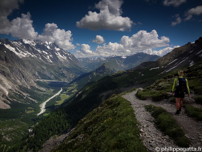
Anna toward  Col Ferret (© P. Gatta)
Anna toward Col Ferret (© P. Gatta)

Tour du Mont Blanc (TMB) in 4 days

We decided to run the TMB in 4 days to get the time to enjoy the scenery and take plenty of photos and videos. We also decided to follow some variantes to stay at higher altitude and closer to the mountains. Here are the variantes we chose:
  • Trient - Col de Balme - Tré-le-Champ
  • Flégère - Le Brévent - Refuge Bellachat
  • Col de Voza - Col de Tricot - Chalets de Miage - Les Contamines-Montjoie

We started from Courmayeur which was more convenient for us but as said earlier, there are many possible starting points. Here are our 4 stages:
  • Courmayeur - Champex-Lac
  • Champex - Refuge de Bellachat
  • Refuge Bellachat - Refuge du Col de la Croix du Bonhomme
  • Refuge du Col de la Croix du Bonhomme - Courmayeur
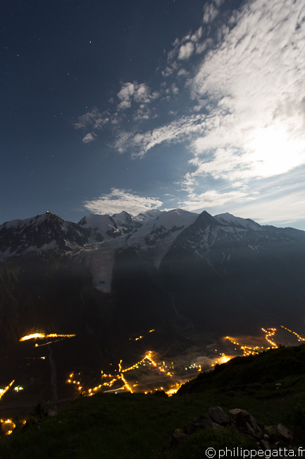
Mont Blanc and Chamonix by night from Refuge Bellachat (© P. Gatta)

The distances given below have been measured with a GPS and the ascent/descents have been measured with an electronic barometer. Overall the TMB is pretty well marked with signposts and paint marks but it is recommended to bring maps and a GPS.


Day 1: Courmayeur - Champex: 48 km and +2513 m / -2258 m
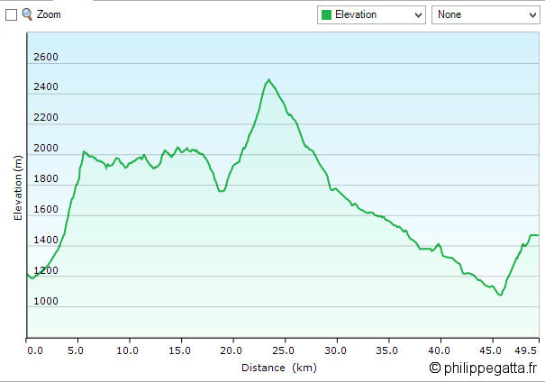
TMB: profile of the first day (© P. Gatta)
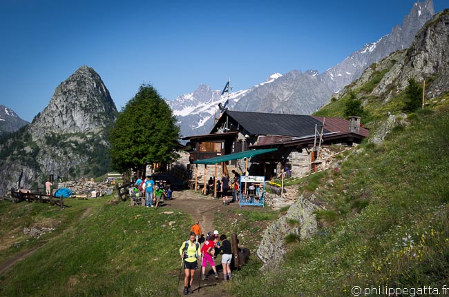

Leave the center of Courmayeur (1205 m) toward the Refuge Bertone (1991 m), firstly on the road and then on a good trail.

Refuge Bertone (© P. Gatta)
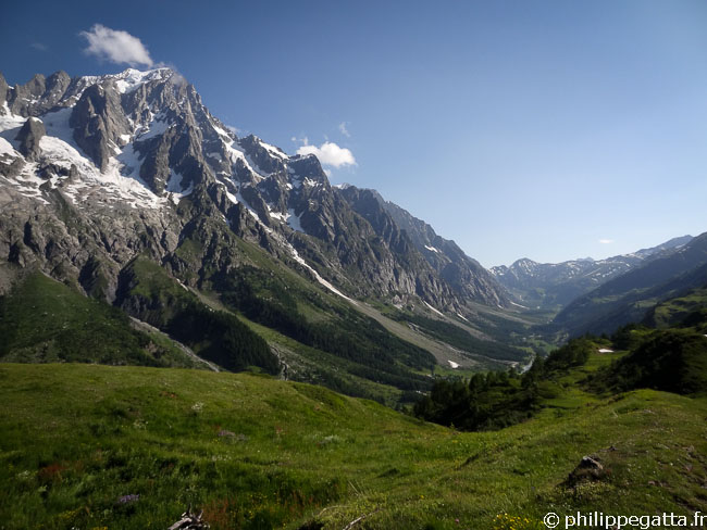
After the Refuge Bertone there are almost 10 km flatish on a very good trail.

TMB: after Refuge Bertone with the Grandes Jorasses behind (© P. Gatta)
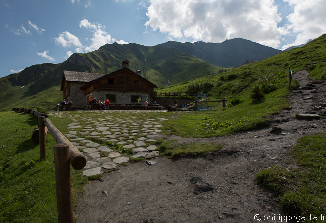

Then continue to the Refuge Bonatti (2025 m) with splendid view over the Mont Blanc, Dent du Geant, Grandes Jorasses and the Val Veni below.

TMB: Refuge Bonatti (© P. Gatta)
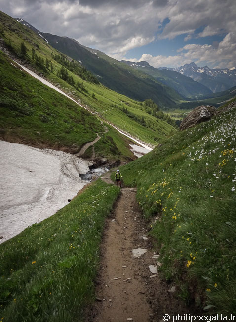
After the Refuge Bonatti continue to the Northeast, still more or less flat for around 3 km and descend to the Chalets Hotel la Vachey. Start the climb. After the Refuge Elena (2062 m) the climb becomes steeper. Keep climbing for 470 m to the Grand Col Ferret (2531 m, Switzerland) which is almost half way.

TMB: Anna toward Col Ferret (© P. Gatta)
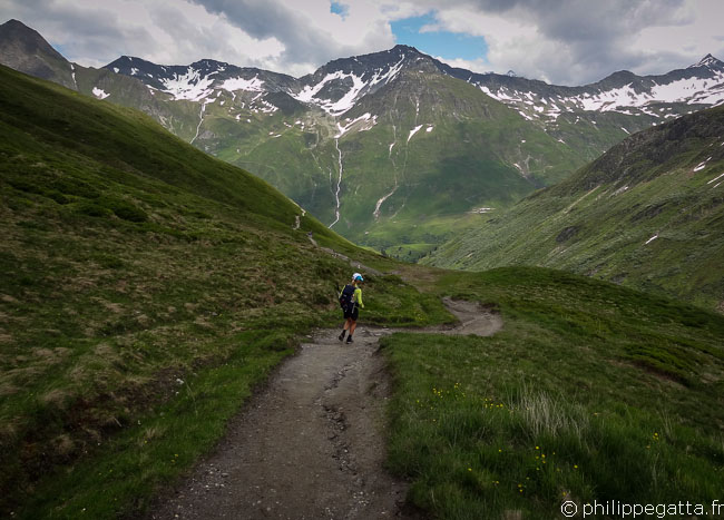

From Grand Col Ferret be prepared for 21 km and 1400 m of descent, most of it on a good trail and then a dirt road.

TMB: going down from the Grand Col Ferret (© P. Gatta)
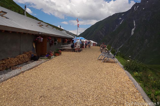

Go down on a good trail to the Refuge La Peule (2100 m). Shortly after, the trail becomes a dirt road.

TMB: Refuge La Peule (© P. Gatta)
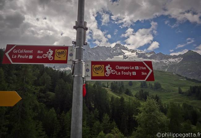
Cross the nice village of La Ferret and continue to La Fouly.

TMB: Village of La Ferret (© P. Gatta)
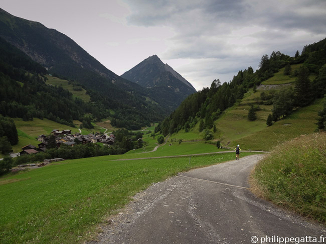

Pass Praz de la Fort and Issert, most of this section is on a road or good trail.

TMB: Issert, Champex is not far (© P. Gatta)
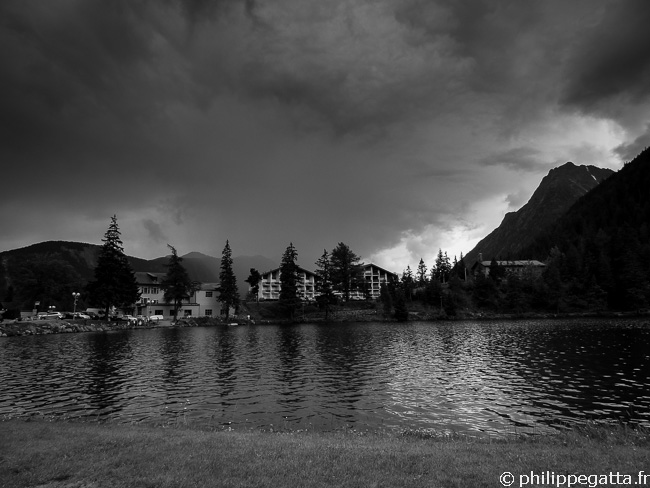

This is the low point at 1050 m. From there, go up to Champex-Lac through a nice forest along the Mushroom trail. There are many hotels and restaurants in Champex-Lac.

TMB: Champex and its lake (© P. Gatta)


Day 2: Champex - Col de Balme - Refuge de Bellachat: 45 km and +3216 m / -2559 m
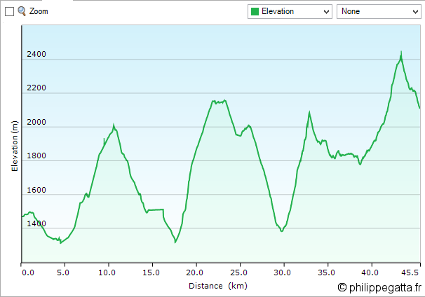
TMB: profile of the second day (© P. Gatta)
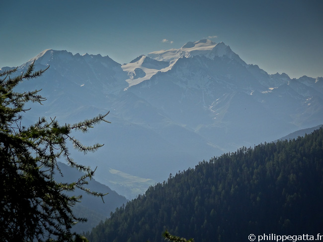

Leave Champex, follow the road for a while and then get back on the trail to la Bovine. From the bottom at 1300 m to the top at 2000 m it is 6 km with a steep section in the forest and then less steep above the forest. Then go down to the Col de la Forclaz (1526 m).

TMB: Grand Combin seen from the trail to Bovine (© P. Gatta)
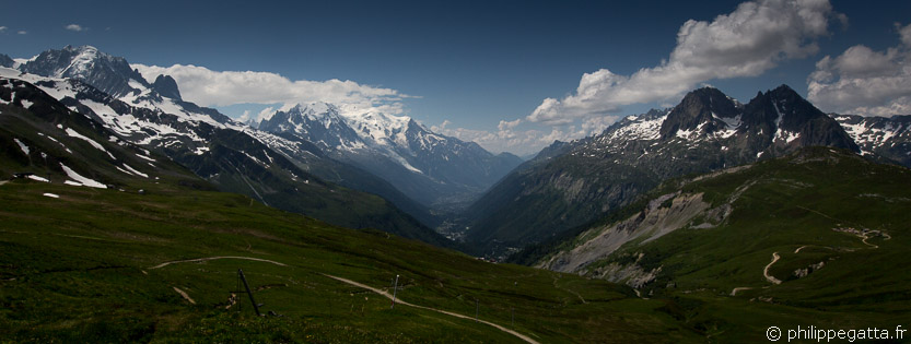

From Col de la Forclaz there are two options; either go to the Trient and Vallorcine, or like we did, go down to Trient (easy and good trail) then go up the Col de Balme (2191 m, France), 4.5 km and +700 m.

TMB: view over the Chamonix valley from Col de Balme (© P. Gatta)
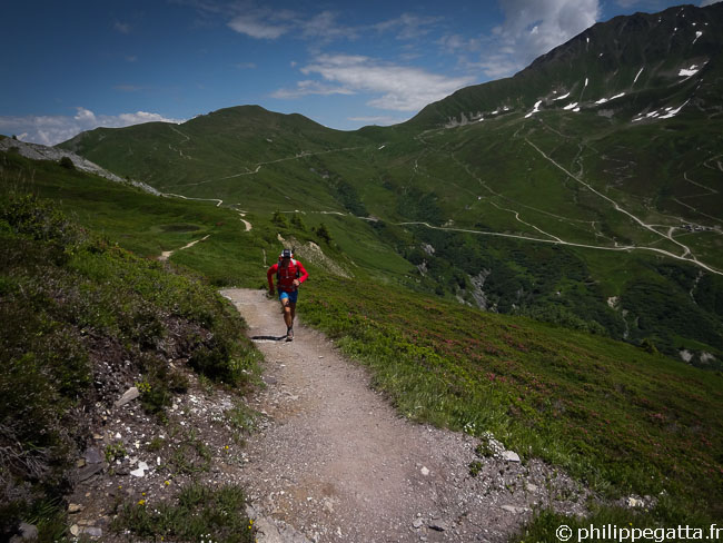

After the Col de Balme we took the West trail to the Chalet de Balme (easy trail) and then down to Tré-le-Champ trough a steep trail in the forest.

TMB: Descent from Col de Balme (© A. Gatta)
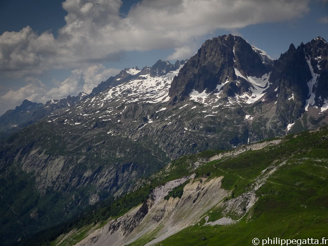

From Tré-le-Champ go up along the TMB to Flégère. There are 3 km and +700 m to the high point which is below the Lake of Cheserys.

TMB, Montagne de la Flégère (© P. Gatta)
TMB: Montagne de la Flégère (© P. Gatta)
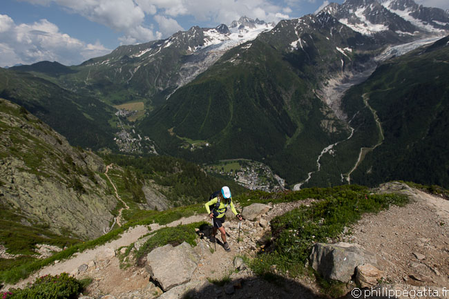
There are some technical sections along this trail, including ladders.

TMB, trail to Flégère (© P. Gatta)
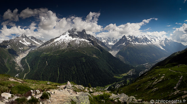
From there, go down to Flégère, mainly a descent of 3.4 km.

TMB: amazing view going to Flégère (© P. Gatta)
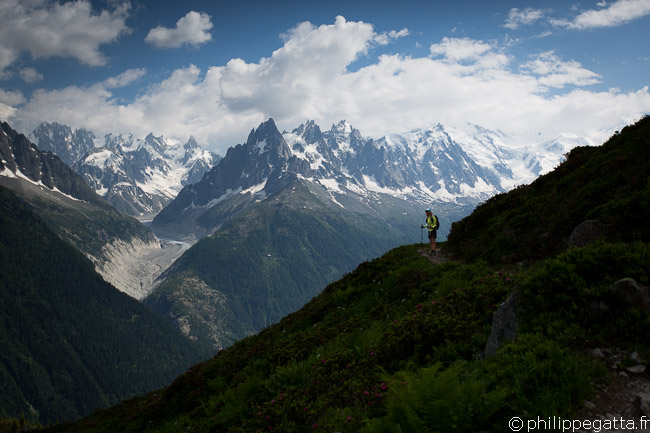

After Flégère, the UTMB goes back down to Chamonix. Instead we continued to the Chalet de Planpraz (5.2 km, +200 m), climbed to the Brevent (2421 m) on a steep trail, 2 km, +400 m.

TMB: Mont Blanc Massif (© P. Gatta)
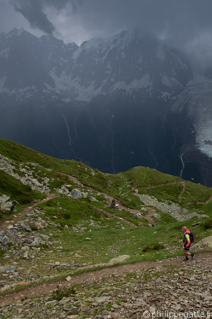
Leave the Brevent and follow the TMB / GR5 down to the Refuge de Bellachat (2152 m): 2 km.

TMB: Between Brevent and Bellachat (© P. Gatta)


Day 3: Refuge de Bellachat - Col du Tricot - Croix du Bonhomme: 41 km and +2752 m / -2465 m
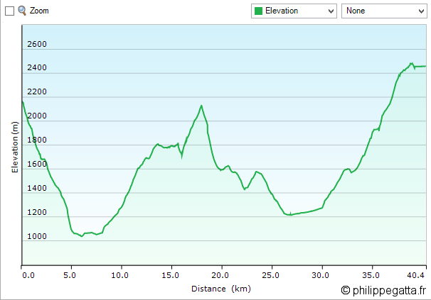
TMB: profile of the 3rd day (© P. Gatta)
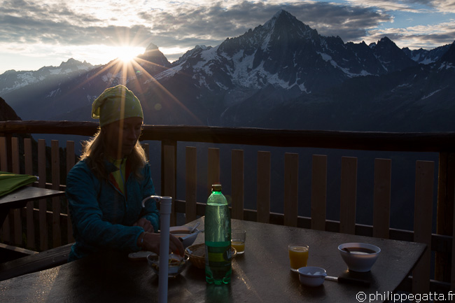

The view from Refuge de Bellachat over the Chamonix valley and Mont Blanc is stunning.

TMB: Breakfast at Bellachat (© P. Gatta)
TMB: breakfast at Bellachat (© P. Gatta)
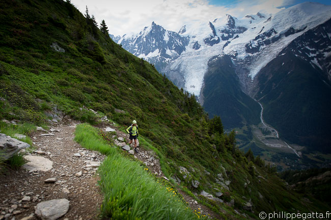
The day starts with a steep descent to les Houches: 7.5 km, -1100 m.

TMB: descent from Bellachat to les Houches (© P. Gatta)

From les Houches (1003 m) get back on the same route as the UTMB, climbing to the Col de Voza (1653 m). After the Col, we chose another variante of the TMB. Instead of going down to St Gervais, we went up to the Col de Tricot (2120 m).

From the Col de Voza follow a good trail to Bellevue. Les Houches - Bellevue: 6 km, +750 m. Then continue on a single track in a forest to the Chalet de Tricot. From the Challet to the Col de Tricot it is 2 km, +415 m on a good trail. Amazing view over the Aiguilles of Gouter and the North face of Bionnassay.
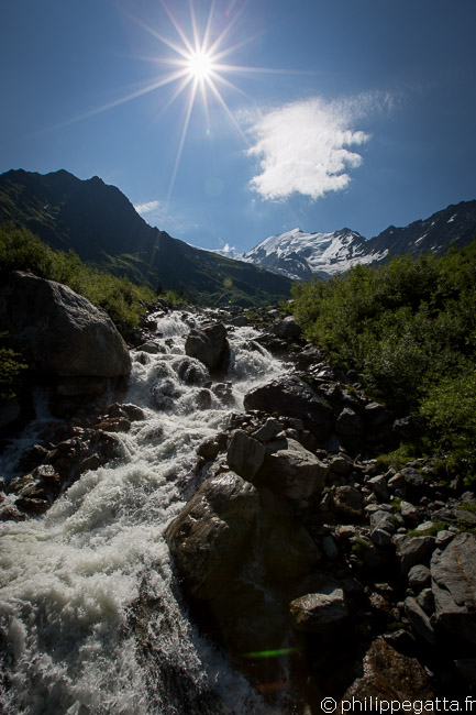
TMB: crossing a river below Glacier of Bionnassay (© P. Gatta)
TMB: crossing a river below the Glacier of Bionnassay (© P. Gatta)
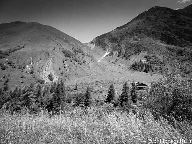
The descent from the Col de Tricot to the Chalets de Miage is short and very steep, tough for the legs: 1.9 km, -531 m.

TMB: Col du Tricot (© P. Gatta)

Climb again to the Chalets du Truc and then go down to the Contamines-Montjoie (1227 m) on a dirt road: 6.4 km, +190 m / -560 m.
That is where the long climb to the Col du Bonhomme starts: 12.6 km, +1320 m. The first section up to the Notre dame de la Gorge is not very steep and on an easy trail.
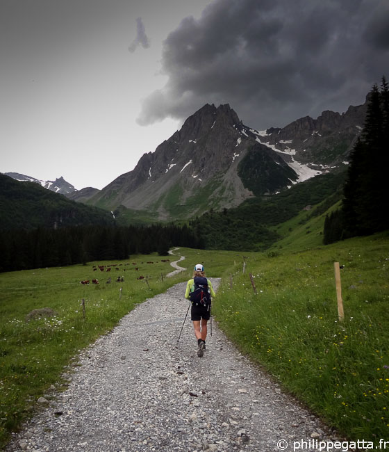
TMB: on the way to the Col du Bonhomme (© P. Gatta)
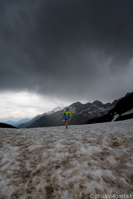

There are two refuge/hotels above Notre dame de la Gorge: Nant Borant and Balme. Keep climbing up to the Col du Bonhomme (2329 m).

TMB: Col du Bonhomme (© A. Gatta)
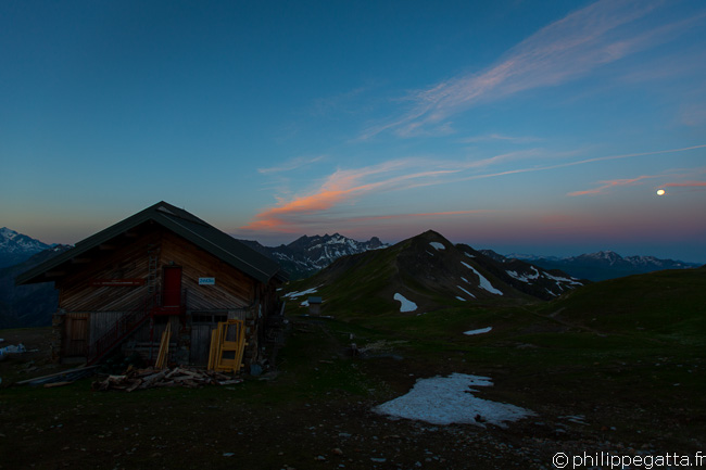
From the Col du Bonhomme (2329 m) continue to climb to the Col de la Croix du Bonhomme (2433 m) on a technical trail. The refuge is a bit after the col.

Sunrise and full moon over the Refuge de la Croix Col du Bonhomme (© P. Gatta)


Day 4: Refuge de la Croix du Bonhomme - Courmayeur: 35 km and +1452 m / -2610 m
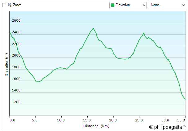
TMB: profile of the 4th day (© P. Gatta)
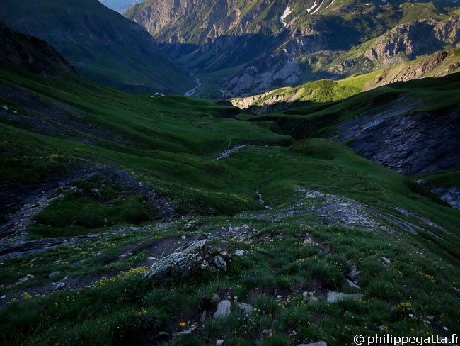

Again the day starts with a long descent from the refuge of Col de la Croix du Bonhomme to Les Chapieux: 5 km, -850 m. The trail is steep and sometimes technical.

TMB: descent from la Croix Col du Bonhomme to Chapieux (© P. Gatta)
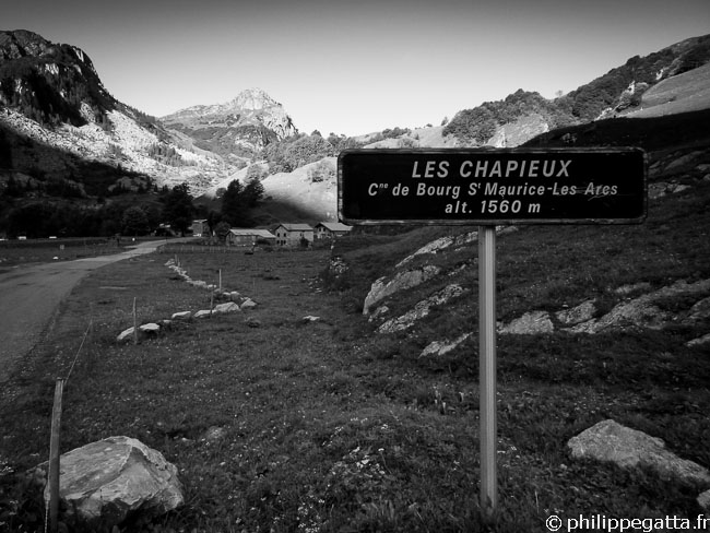

After Les Chapieux (1585 m), there is a long climb to the Col de la Seigne (2516 m): 11 km, +965 m.

TMB: Les Chapieux (© P. Gatta)
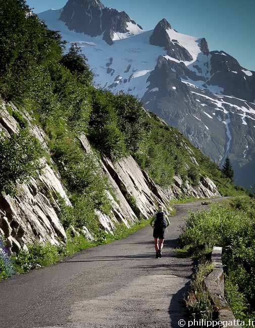
The first section up to La Ville des Glaciers (1789 m) is on small road and not steep.

TMB: between Les Chapieux and La Ville des Glaciers (© P. Gatta)
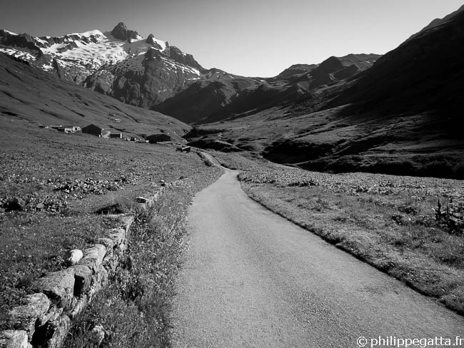

Leave the road at La Ville des Glaciers and climb along a good trail up to the Col de la Seigne: 5 km, +707 m.

TMB: La Ville des Glaciers (© P. Gatta)
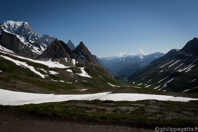

Enjoy the view from the Col de la Seigne (2516m) and start the descent in the Val Veni (Italy).

TMB: view from Col de la Seigne, Mont Blanc on the left (© P. Gatta)
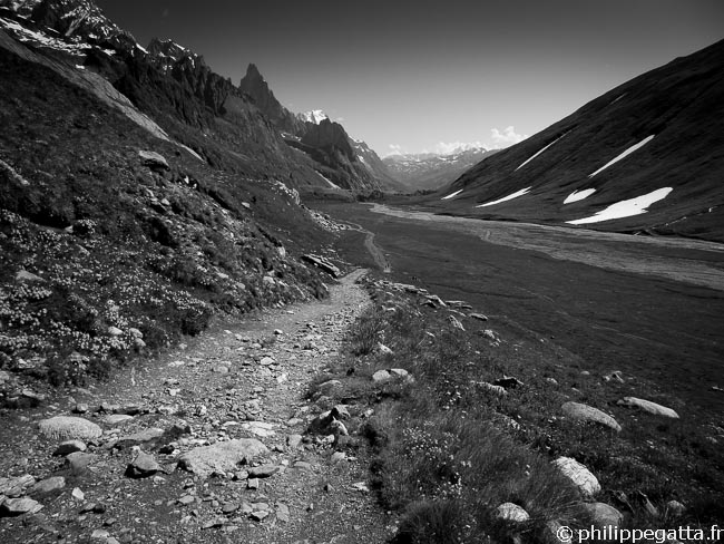

The descent from the Col de la Seigne is very nice and on a good trail with fantastic view. Pass the Refuge Elisabetta and continue on the dirt road.

TMB: trail along the Val Veni (© P. Gatta)

After 6.5 km and 540 m of descent; leave the Val Veni and climb to Chécroui through at pass at (2420 m): 3.2 km, +440 m.

TMB: Val Veni (© P. Gatta)
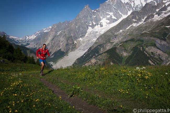
The descent from Chécroui to Dolonne is very steep and not fun to be honest: 8 km, -1170 m. From Dolonne join Courmayeur on the road.

TMB: Val Veni (© A. Gatta)


TMB: Val Veni (© A. Gatta)
On Key

Top Stories

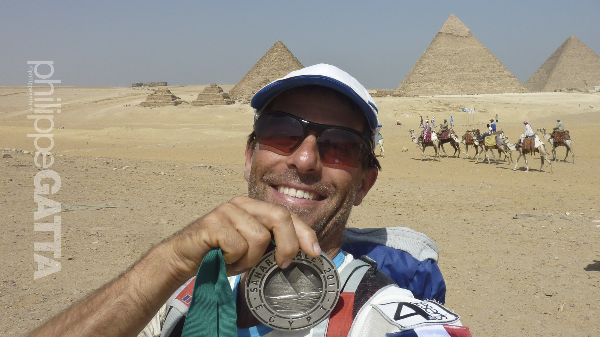
Sahara Race - © Philippe Gatta

Sahara Race, Egypt

The Sahara Race is a 250 km running race which takes place in the Sahara desert, 130 km Southwest of Cairo, Egypt. There are 6-stages in 7 days: almost 4 Marathons in 4 days, then 86 km, a rest day and a final short stage of 2 km. Philippe ranked 6th.

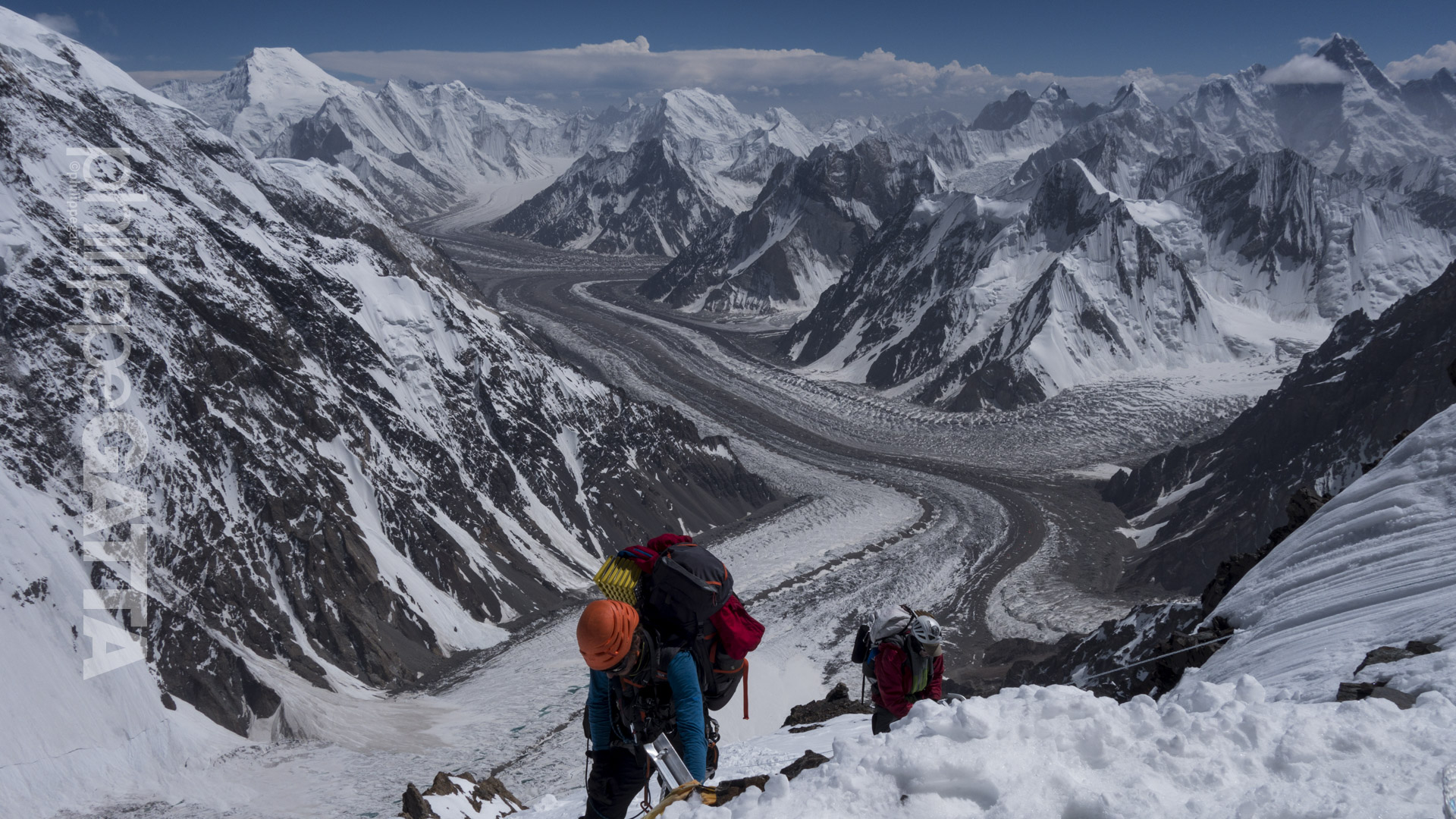
K2 8611 m, Pakistan - © Philippe Gatta

K2 8611 m, Pakistan

K2 is the second highest mountain in the world and considered as the hardest of the 8000m peaks. Philippe and some friends tried to climb the Abruzzi Spur but have been stopped by challenging weather, rockfalls and a massive avalanche…

Kangchenjunga 8586 m, Nepal - © Philippe Gatta

Kangchenjunga 8586 m, Nepal 

The Kangchenjunga is the second least climbed peak of the 14 peaks over 8,000 meters. Philippe joined a French-Swiss team to climb the Southwest face. They reached the summit on May 19th in challenging weather.

Khan Tengri - © Philippe Gatta

Khan Tengri 7010 m, Kyrgyzstan

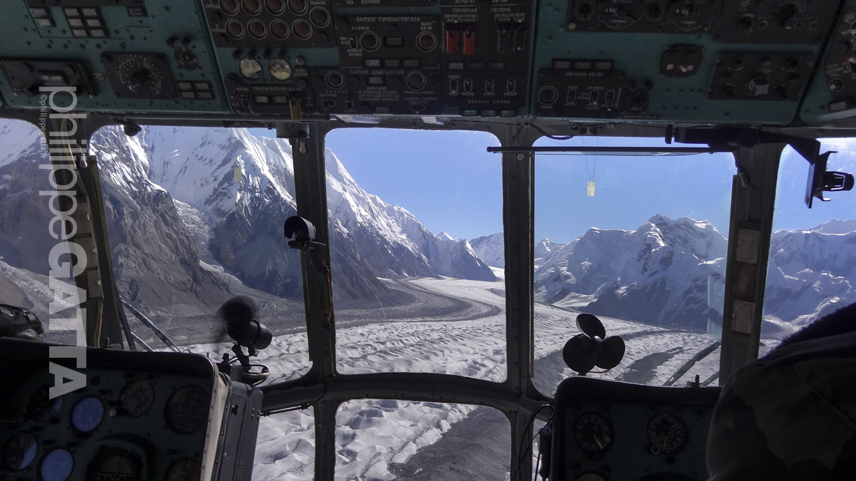
Khan Tengri is the second highest mountain of the Tian Shan mountain range. Philippe and Yannick climbed the Progrebietsky route on the South Face and West ridge of Khan Tengri in just 9 days.

Marathon des Sables, Marocco - © Philippe Gatta

Marathon des Sables, Morocco

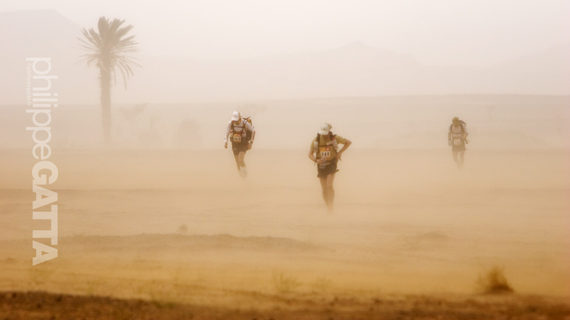
The Marathon des Sables (Marathon of Sands) is a mythic race, a race that all ultra-distance runners must do at least once. Despite its name, it’s not a Marathon but a +200km race with 6 stages, including a 80 km non-stop stage. The race takes places in Morocco in the Sahara desert.

Via Alpina - © Philippe Gatta

Via Alpina – 1000 Km across the Alps

Wishing to run across the Triglav, Dolomites, Tyrol, la Bavaria, Interlaken…, they decided to follow a combination of the red and green Trail of the Via Alpina. To limit the overall distance to 1,000 km, they decided to start in the Triglav National Park (Slovenia) and finish in Chamonix (France). From the Triglav, they followed the Red Trail across Italy, Austria, Germany to Lichtenstein. From there, they switched to the Green trail to Lenk in Switzerland. After Lenk, they made their own trail to Chamonix, France.