Search
Close this search box.

Great Himalaya Trail (GHT), Nepal

1200 km and +61 000m in 34 days
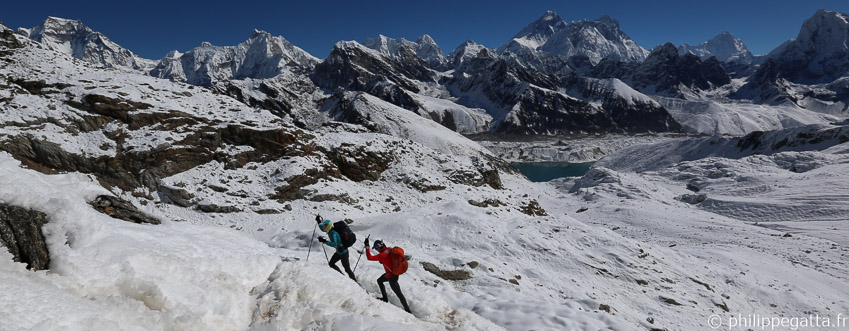
Philippe and Anna on the Great Himalaya Trail: 1,200km and +61,200m across Nepal (© P. Gatta)

About the Great Himalaya Trail (GHT)

The Great Himalaya Trail (GHT) is a network of existing treks and trails which together form one of the longest and highest trails in the world. The GHT links the world's highest peaks, visits some of the most remote communities on earth, passes through lush green valleys, arid high plateaus and incredible landscapes. There are two main routes: the High Route (in color in the map below) which is the highest possible trail, staying as close as possible to the high peaks, and the Cultural Trail which follows lower trails (green dots in the map below).

Great Himalaya Trail crosses the following regions: The Far West, Humla, Rara, Dolpo, Annapurna, Manaslu, Ganesh Himal, Rolwaling, Khumbu / Everest, Makalu Barun and Kangchenjunga.
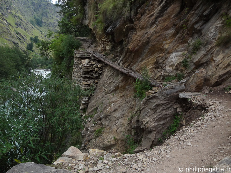
Challenging trail in Dolpo (© P. Gatta)

The Nepal's section of the High Route is roughly 1,700km long. In addition to this impressive distance, the High Route crosses around 15 passes over 5000 meters and two over 6,100 meters. The overall elevation gain is close to 88,000 meters.

Trekking the Great Himalaya Trail is a real challenge which can take 150 days or more, often spread out over several trekking seasons or years.
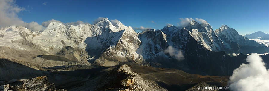
Everest region seen from Ama Dablam camp 1 (© P. Gatta)


Running the Great Himalaya Trail (GHT)

In September 2013, Philippe and Anna Gatta embarked on a hugely ambitious adventure - to run the high route of the Great Himalaya Trail. Philippe aimed to cover the full 1,700km route in just 40 days, while Anna planned to run 670km of the trail with her husband and provide essential logistical support for the rest of his run. Running the route in less than 40 days is the equivalent of 40 marathons in 40 days (10 UTMB or seven Marathons Des Sables).

Philippe and Anna ran light and fast, carrying a 10kg pack with all their kit, gear, sleeping bag and food. They did not take any tent, bivy bag and not even a stove (they used Esbit). At 4 locations, they met a support team where they got resupply. During the whole journey, they didn't have any guide or porter.
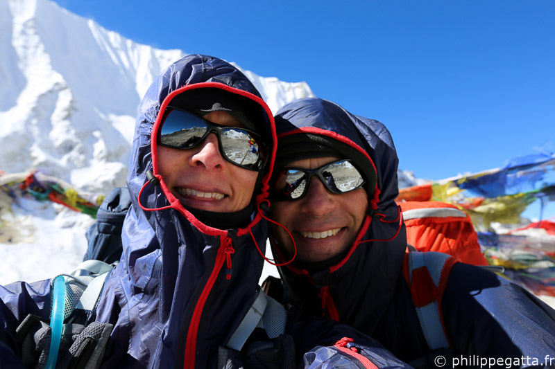
Anna and Philippe crossing Larkya La, Manaslu (© P. Gatta)

However, it was the devastating Cyclone Phailin that finally prevented Philippe and Anna from maintaining their progress along the original route, dumping up to two metres of snow on the high passes and making them impassable. At the time that the cyclone hit, Philippe was still ahead of his schedule and confident of completing the route in under 40 days. He was trying to cross the Tilman pass in the Langtang region and was forced to turn back.

Anna around Manaslu (© P. Gatta)
With their original objective now unachievable, the Gattas refused to retreat, but changed their plans, missing out the impossible section and instead flying to Lukla, from where they would head west along the route as far as the snow would allow. Philippe would also attempt to climb Island Peak at speed. In fact, they completed in nine days what would normally take 24, in difficult conditions and deep snow (Lukla - Chhechet). Philippe successfully climbed Island Peak (6,189m) with Pasang Gumbu, and then together with Anna they crossed three passes - Cho La (5,330m), Renjo La (5,340m) and Tashi Labsta (5,755m) - all in in four days, probably a record.

Philippe crossing Nyingma Gyansen La, Dolpo (© P. Gatta)

They ended their GHT at Chhetchet after 34 days of physical and psychological challenges. Philippe's objective had never been achieved before and, in the end, he was unable to complete it in 2013. However, he and Anna did have a major adventure across the roof of the world.


Great Himalaya Trail video

Video of the Great Himalaya Trail (© Philippe and Anna Gatta)


Their Great Himalaya Trail in 34 days

Here is a brief summary of their 34 days of adventure.

Day 1 to 2: Simikot to Gamgadhi (Philippe)

At the end of September, Anna and Philippe flew from Katmandu to Simikot, a small village of the Humla region. Initially they planned to run together to Gamgadhi but the airstrip of Gamgadhi was closed so Anna made the first 20km and went back to Simikot and then to Katmandu. Philippe continued alone and reached Gamgadhi at the end of the following day after getting lost a couple of times.

Total for this section: 110km +7,000m in two days.
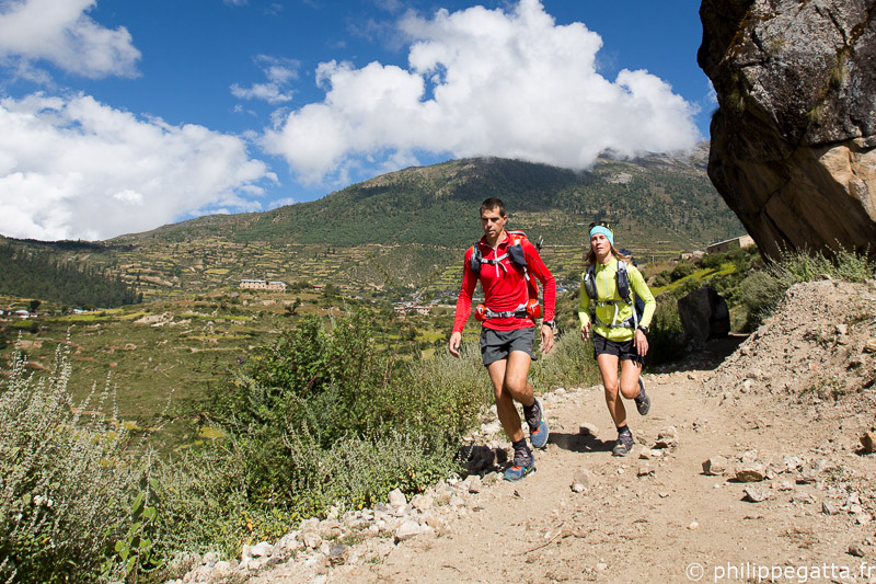
Philippe and Anna at the start of the GHT in Simikot (© P. Gatta)

Day 3 to 10: Gamgadhi to Kagbeni (Philippe)

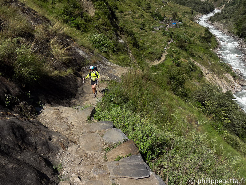
Philippe left Gamgadhi alone carrying a 10.5kg pack with 8 jours of food, sleeping bag, clothes, medical kit, GPS, maps et Spot Messenger. The first day to Shilenchaura camp went rather well. The Mugu Karnali river Gorge is beautiful, the trail relatively good et obivious. The end of the day has been tougher with some rain et a missing bridge to cross the Karnali river.
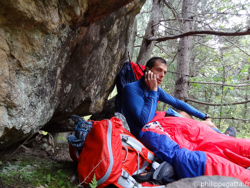
Bivouac in Dolpo (© P. Gatta)
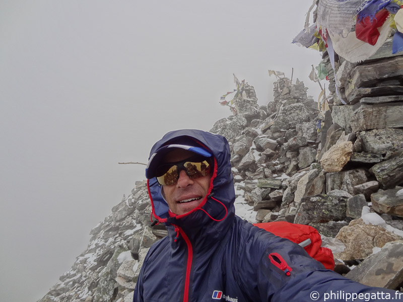

The second day has been extremely hard up from the start. A wolf was around Philippe's bivy all night et followed him for a while. The trail disappeared et Philippe struggled to find his way along letslides, rock falls et screes. The weather has been miserable, with rain, snow et wind. After 14 hours of efforts, Philippe crossed Chyargola La (5,151m) et slept along a river further down the valley.

Crossing Chyargola La in snow, Dolpo (© P. Gatta)
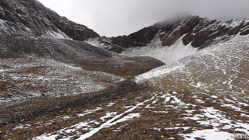

On day 5, he crossed the Yala La (5,415m) again in tough weather et 10cm of snow. He crossed two white wolves in the valley of Swaksa Khola. Unable to cover the distance planned, he slept in a cave below the Nyingma Gyansen La (5,565m).

After crossing Yala La, Dolpo (© P. Gatta)
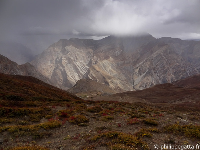

Crossing the Nyingma Gyansen La the following day in snow storm has been another challenge. There was no obvious trail to reach this tricky pass et he climbed 3 passes before finding the good one. He then reached the tiny village of Pho et met a few people for the first time in a few jours. The Tora Khola river below the village is stunning; a beautiful Gorge with red rocks et a turquoise river.

On the way down to Pho, Dolpo (© P. Gatta)
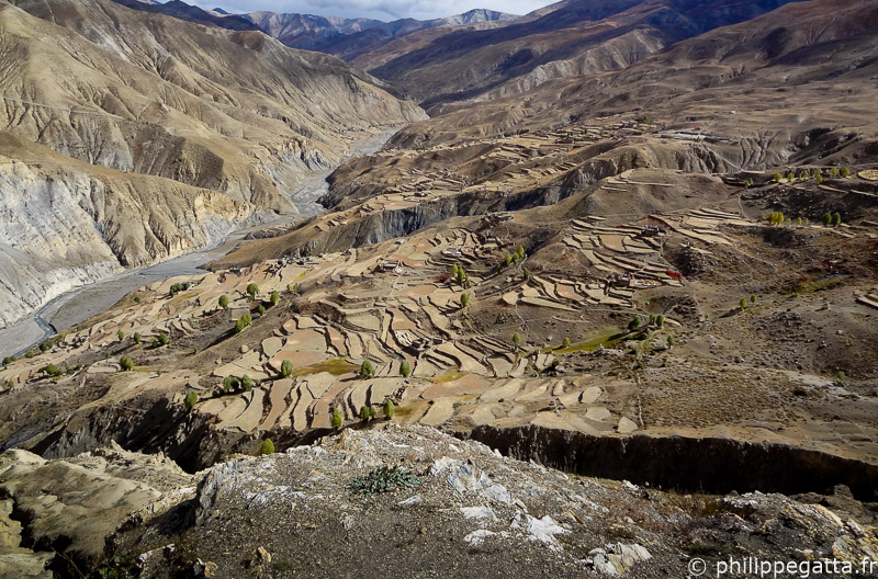

The day 7 up to the village of Khoma was 51 km long with 2,800m of ascent. The trail was much better and so was the weather. Philippe made a bivouac close the Khoma.

Saldang and its valley, Dolpo (© P. Gatta)
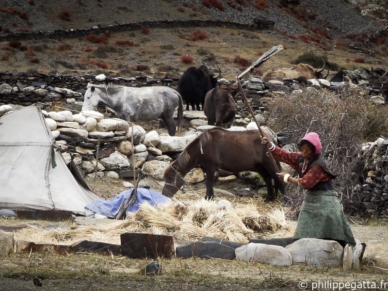

Day 8 hasn't been too hard either and he could run 60km. The challenge of the day was to cross the strong river just below the camp.

The village of Tinje, Dolpo (© P. Gatta)
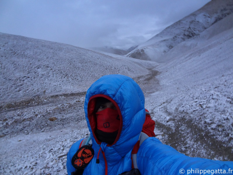

Day 9 started in a new snow storm which lasted up to the Mola Bhanjyang (5,030m). The weather improved as he crossed the nice village of Chharka Bot where he bought some biscuits. He continued 21km to reach his bivy at the Nulung Sumdo at 5,000m.

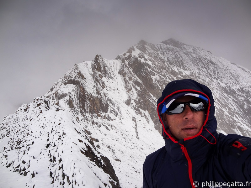
Snow storm close to the Jungben La, Dolpo (© P. Gatta)

It snowed during the night and he woke up with 5cm of fresh snow on his sleeping bag. He crossed two passes; Jungben La (5,550m) and Jungbenley La (5,120m). Crossing the river between Ghok and Santa has been very difficult with landslides and dangerous trails. Even after Santa, the trail to Kagbeni, in the fog was endless and it is only late in the night that Philippe met Anna and Richard at Kagbeni.

Total for this section: 370km +19,360m in 8 days.
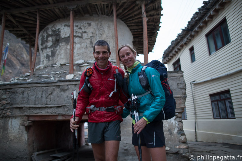
Philippe and Anna leaving Kagbeni the following day (© R. Bull)

Day 11 to 18: Kagbeni to Syabru Besi (Anna and Philippe)

Philippe and Anna left Kagbeni (Annapurna region) early in the morning, starting the day with a 2,600m non-stop climb to the famous pass of Torong La (5,416m). They reached the pass in a snow storm and continued on the other side to Yak Kharka where they spent the night in a lodge.
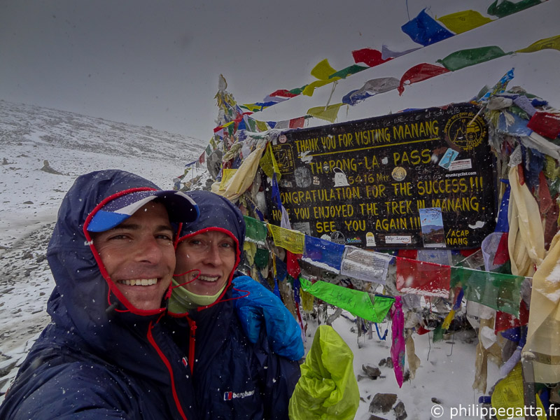
Philippe and Anna crossing Torong La (5,416m), Annapurna (© P. Gatta)
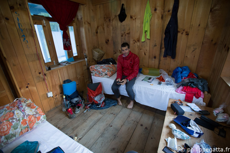

It snowed during the night and they left the lodge with amazing view over the snowcovered Annapurna. This day was relatively easy with few ascent but 57km of distance and they ended the day in a lodge in the village of Lata Marang.

Inside the lodge in Lata Marang, Annapurna (© A. Gatta)
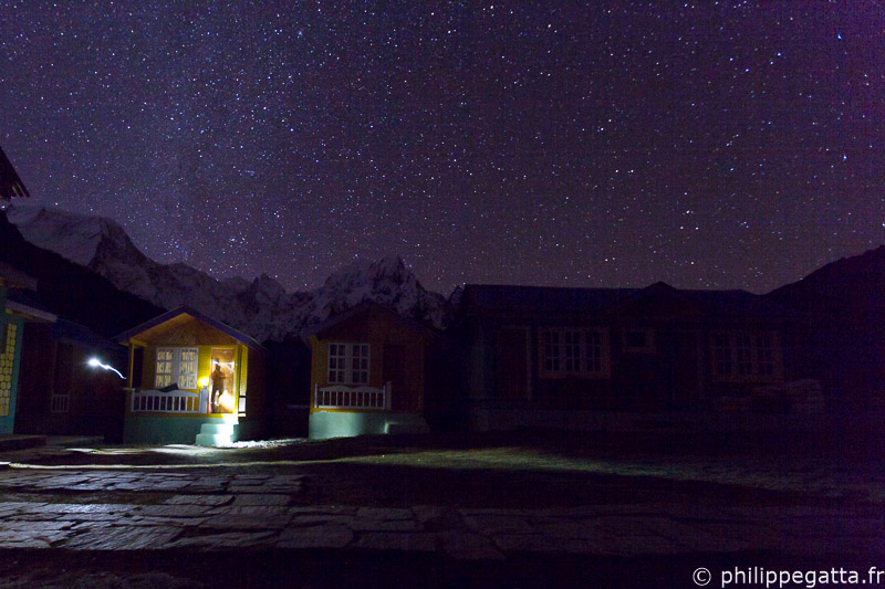

Day 13 went well; nice weather all day and amazing view as they left the Annapurna region for the Manaslu. They ran all the way to Bimthang, a beautiful place with a few lodges surrounded by Mountains.

Stars at Bhimtang, Manaslu (© P. Gatta)
Stars at Bimthang, Manaslu (© P. Gatta)
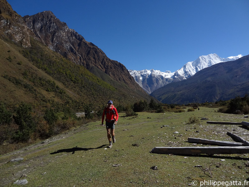
They left Bimthang before the sunrise for a 60km day. They first climbed the nice pass of Larkya La (5,150m) where there are some of the most stunning views of the Manaslu circuit. After the pass, they started a long descent where they crosses multiple villages: Samdo, Sama Gaon, Lho and Namrung.

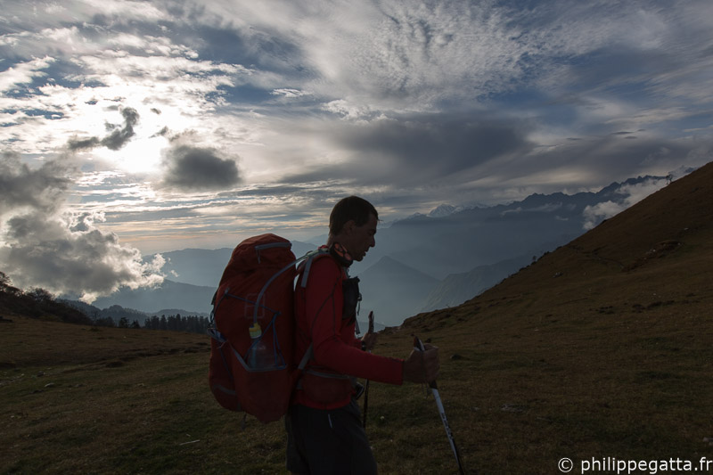
Running around Manaslu (© A. Gatta)
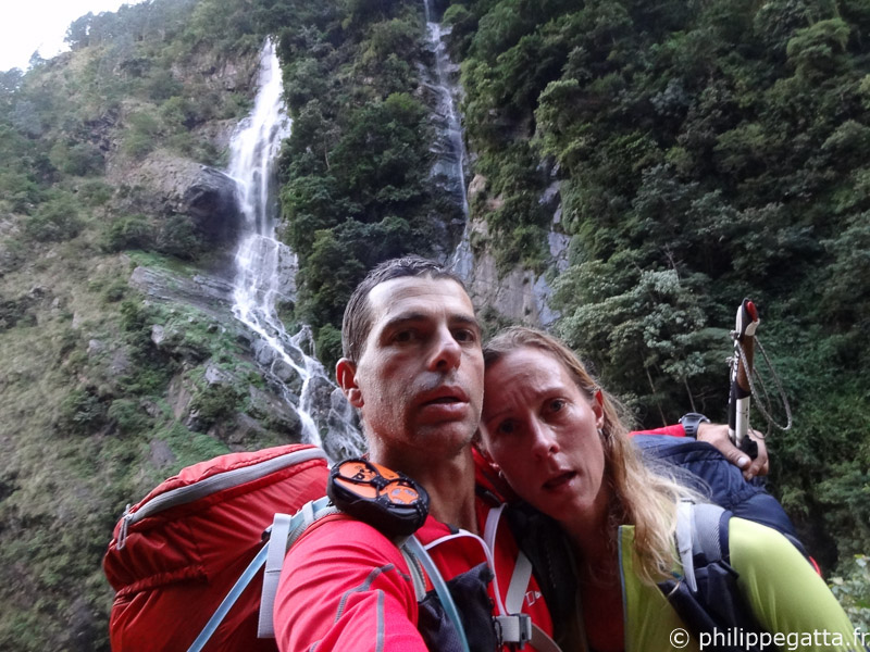
Day 15 has been one of the longest in distance with 63 km. The trail was hot, long and tough and Anna and Philippe arrived just after night fall in a nasty lodge with giant spiders.

Very long day, Manaslu (© P. Gatta)
The following day hasn't been easier. They left the Manaslu region to enter the Ganesh Himal. The landscape was very different, more green, hotter and with much less tourist. They struggled to find the trail and got lost on the way to Myangal Kharka. They eventually reached Lapagaon after 14.5 hours.

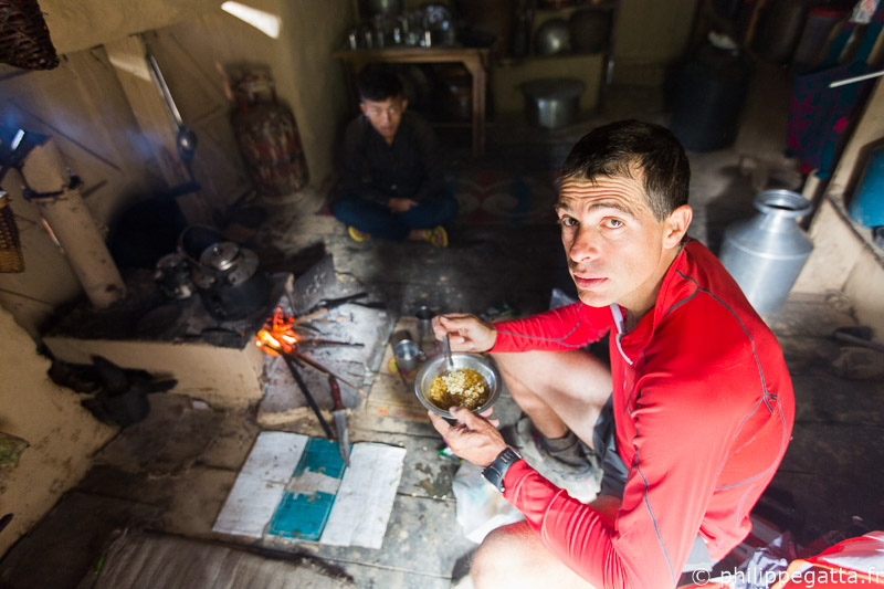
Eating a noddle soup along the way, Ganesh Himal (© A. Gatta)

On day 17 they went up and down all day, covering of 46km and 3,600m of ascent. At these lower altitudes -1,600m to 3840m- it was very hot and humid. They hardly found any food, except some boiled potatoes at Tipling. They slept in a lodge at Somdang.

Crossing Pansan Pass, Ganesh Himal (© A. Gatta)

Philippe had food poisoning at Somdang, eating rotten meat. On day 18 he could barely stand on his feet and despite the short distance, 33km, reaching Syabru Besi has been terrible. He crawled more than he walked for 8 hours, helped by Anna who carried part of his pack.
They met Richard at Syabru Besi who kindly brought a big pack of chocolate. At this point, Philippe and Anna did half of the Great Himalaya Trail in 18 days, ahead of their schedule. The bad news was that a category 5 cyclone had started to hit Nepal.

Total for this section: 390km +19,360m in 8 days.
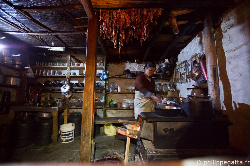
The hanging guts on the roof is probably the cause of our food poisoning, Ganesh Himal (© P. Gatta)

Day 19 to 25: Syabru Besi - Tilman Pass - Katmandu (Philippe)

Day 19, Anna went back to Katmandu and flew to the Everest region to wait for Philippe. Philippe and Rich started the long walk to Kyanjing Gompa in the Langtang region under the heavy rain of the Phailin Cyclone. Philippe was still weak from the previous days of sickness but managed to keep going anyway. They slept in a lodge at Kyanjing Gompa.
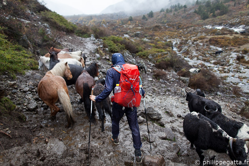
Philippe under the heavy rain of Phailin, Langtang (© R. Bull)
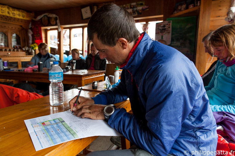

Day 20 the Cyclone kept dropping snow and rain. Rich went back down to Syabru Besi and then Katmandu.

Philippe looking at options while waiting at Kyanjing Gompa, Langtang (© R. Bull)
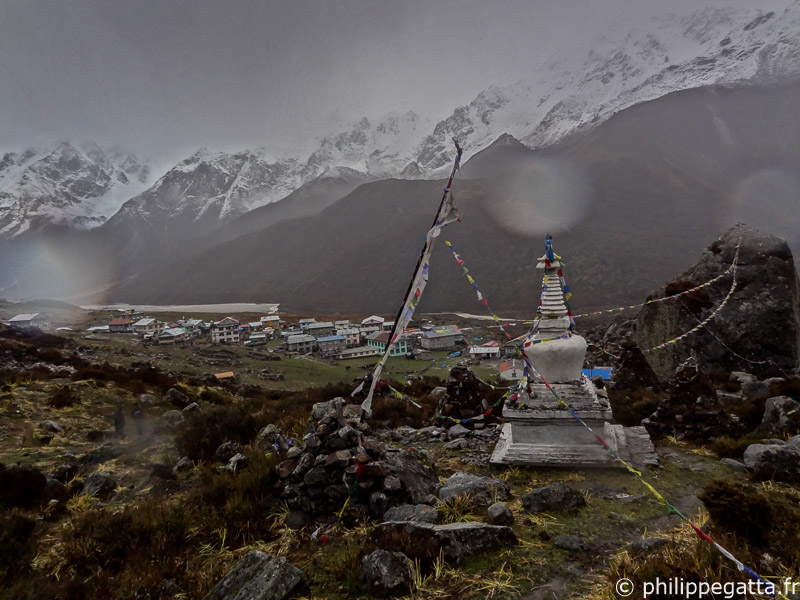
Day 21, it kept snowing, a few people tried to climb the close by summits but turned back due to waist deep snow. Philippe stayed at Kyanjing Gompa waiting for improvement.

Rain and snow at Kyanjing Gompa, Langtang (© P. Gatta)
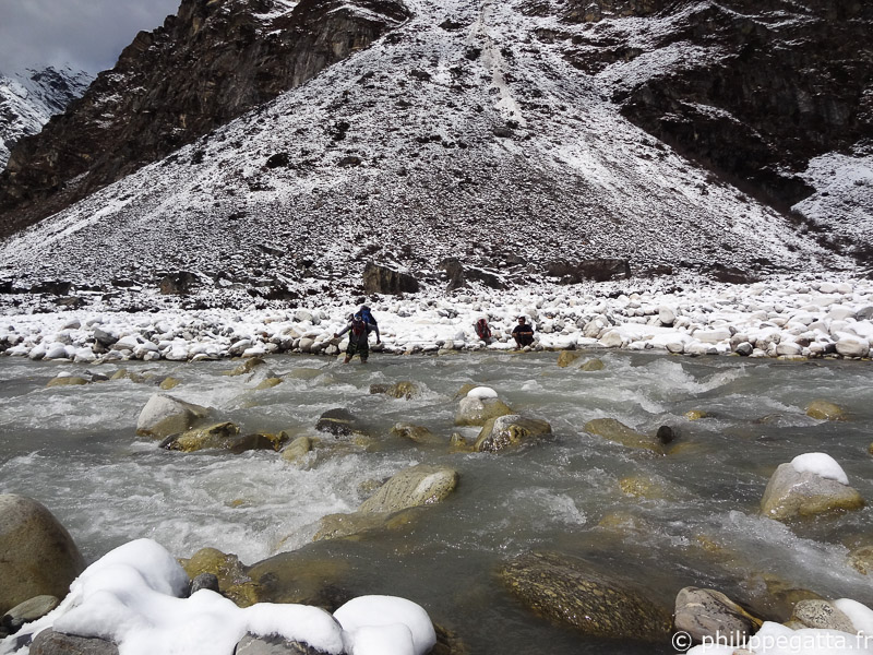

The weather improved the following day and Philippe left Kyanjing with a Sherpa and a porter. They spent an hour to cross the Langtang Khola river which became dangerous after the rain. The deep snow above 4,000m slowed they down considerably and they had to make a camp at lower altitude than planned.

Crossing the Langtang Khola, Langtang (© P. Gatta)

Day 23, the porter and the Sherpa turned back while Philippe continued alone toward Tilman Pass (5,315m). The conditions were terrible with avalanches and deep snow. Philippe broke trail alone for hours, reaching 5,000m.

At that point he had chest deep snow and was progressing at 70m per hour. With only 24 hours of food left and 40km away from the closest village, he had no choice but to turn back. After 14 hours of effort, crossing several avalanches and landslides, he came back to Kyanjing.
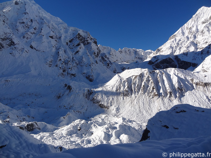
Deep snow around Tilman Pass, Langtang (© P. Gatta)
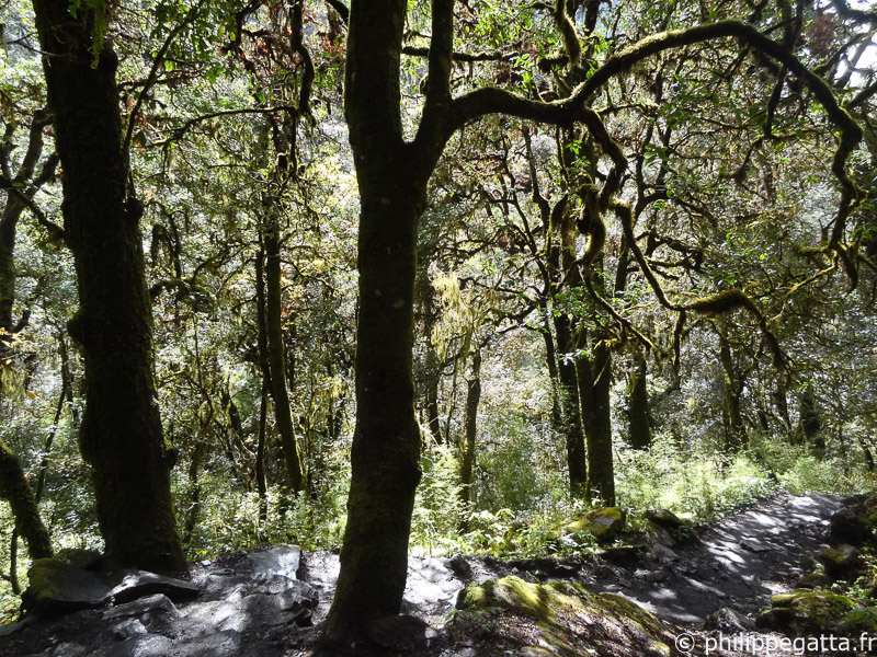

Back in Kyanjing, Philippe understood the impact of Phailin: several people died in avalanches, most expeditions have left or have been evacuated, 2 meters of snow above 5,000m and all high passes are closed. It would take days and even weeks for the snow to stabilize so there was no hope to cross Tilman and Tashi Labsta any time soon. Philippe and Anna had to change their plans. He decided to come back to Katmandu, fly to Lukla (Everest region) and join Anna in Namche Bazar. From there Philippe would climb Island Peak (6,189m), and then they would try to follow the GHT from Chunkung to Chhechet (East to West), hoping that the snow condition would improve and let them cross the high passes.

Forest in Langtang (© P. Gatta)

Day 25, Philippe was in Katmandu reorganizing the logistics and the Island Peak expedition with Jamie and Rich.

Total for this section: 122km +5,300m in 6 days.
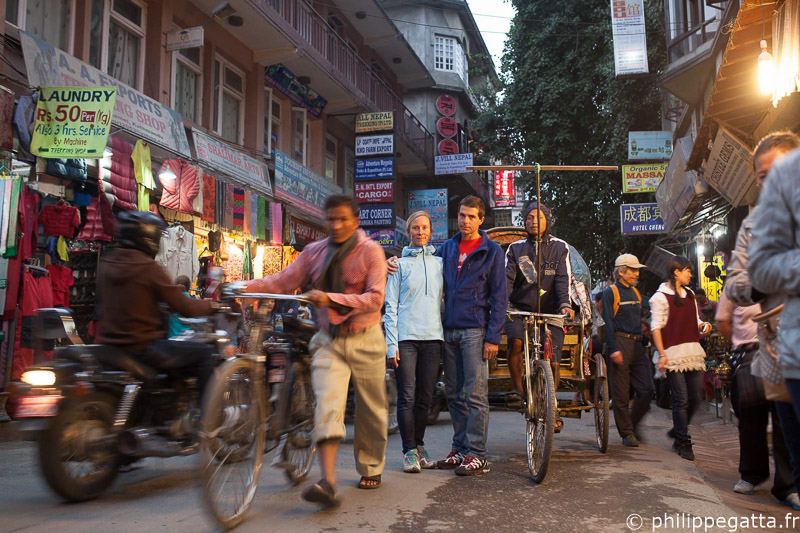
Katmandu (© R. Bull)

Day 26 to 34: Lukla to Chhetchet (Anna and Philippe)

Day 26, Philippe left Katmandu, flew to Lukla and walked straight up to Namche Bazar where he met Anna and Pasang Gumbu. Philippe and Pasang Gumbu climbed Everest together in 2007 and this time they teamed up to climb Island Peak just for fun since we no longer could cross the Amphu Labsta to reach the Kangchenjunga region.
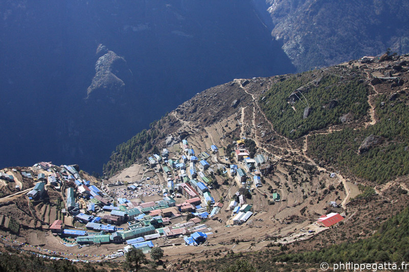
Namche Bazar, Everest (© P. Gatta)
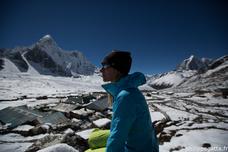

Day 27, Anna, Philippe and Pasang went to Chhunkung.

Anna in Chhunkung, Ama Dablam in the background, Everest (© P. Gatta)
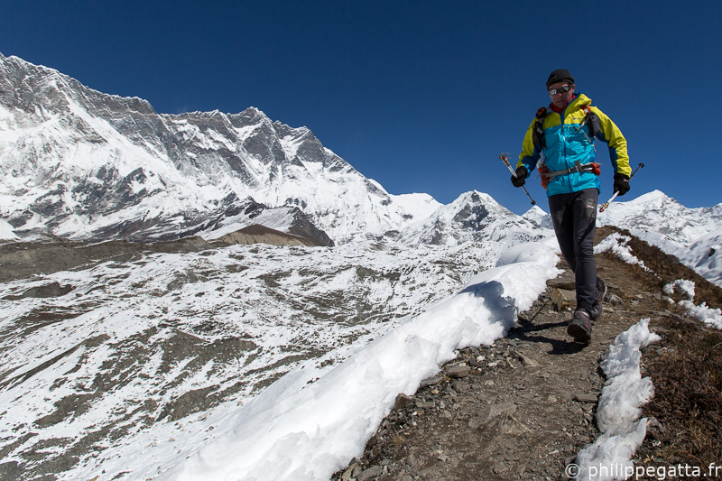

Day 28, there was still too much snow to climb Island Peak, so they had to wait one more day in Chhunkung.

Running around Chhunkung, Lhotse in the background, Everest (© A. Gatta)
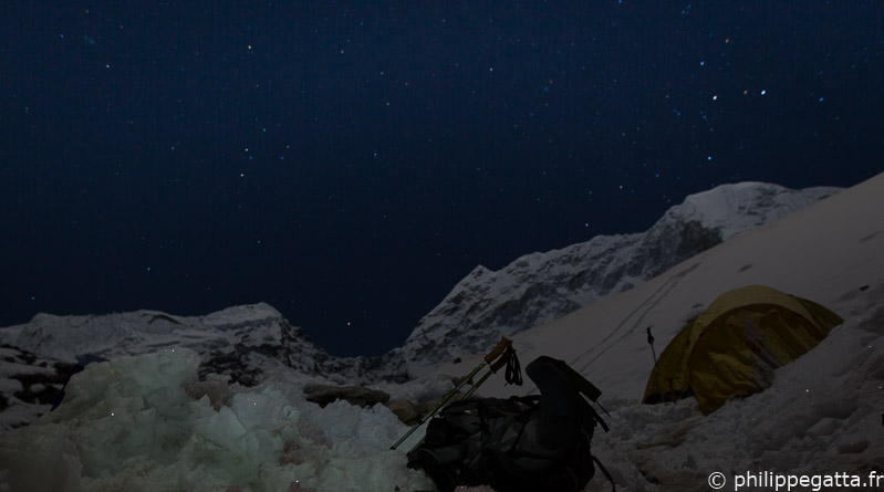

Day 29, they moved up to the Island Peak base camp.

Stars at Island Peak base camp, Everest (© A. Gatta)
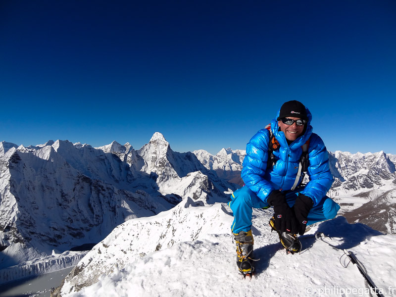

Day 30, Philippe and Pasang climbed Island Peak, being the first to reach the top. Due to the tough conditions, there were only 10 climbers on the peak which is quite unusual. Then Anna, Philippe and Pasang went back down to Dingboche.

Philippe on top of Island Peak, Everest (© P. Gumbu)
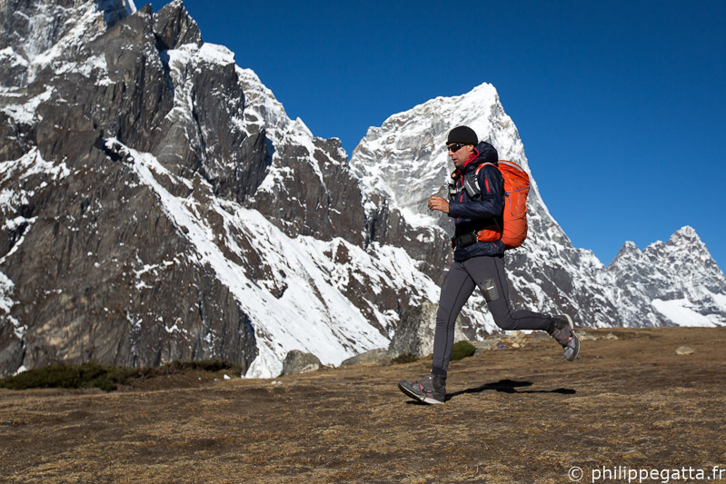

Day 31, they went from Dingboche to Gokyo, crossing the Cho La (5,330m) in deep snow.

Philippe above Dingboche, Everest (© A. Gatta)
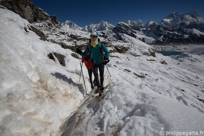

Day 32, they went from Gokyo to Thyangbo, above Thame. Once again the snow was deep et soft above 4,500m et crossing the Renjo La (5,334m) was tough.

Anna et Philippe sous le col Renjo La, Everest (© P. Gumbu)
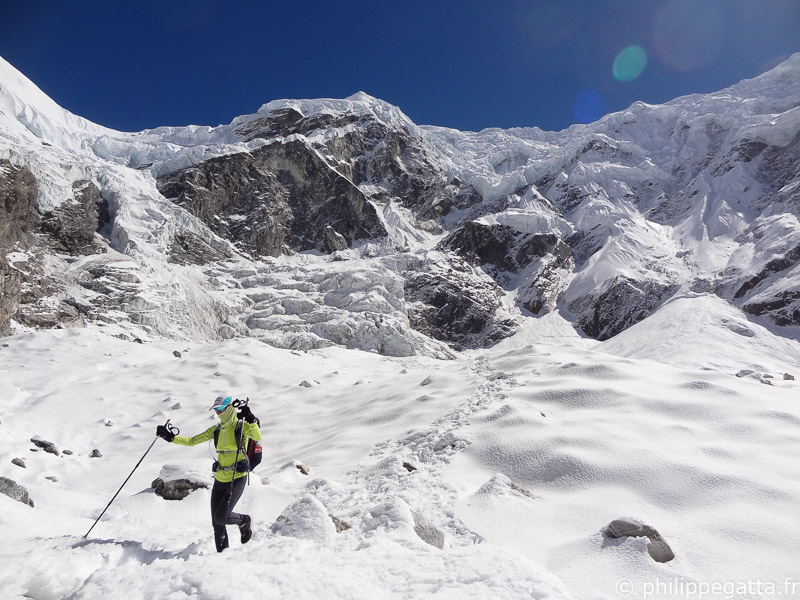

Day 33, crossing the Tashi Labsta (5,755m) has been a mission. The snow was still deep on the pass et 9km of glacier et moraine were extremely hard. Another snow storm hit in the evening. They reached the village of Na late in the evening after 14 hours of efforts.

Extremes conditions on the way down from Tashi Labsta, Rolwaling (© P. Gatta)

Last day, they went down from Na to Chhechet where they ended their Great Himalaya Trail journey doing the last kilometers under heavy rain and thunderstorm. A Jeep was bringing Anna and Philippe from Chhechet back to Katmandu.

Total for this section: 225km +11,300m in 9 days.
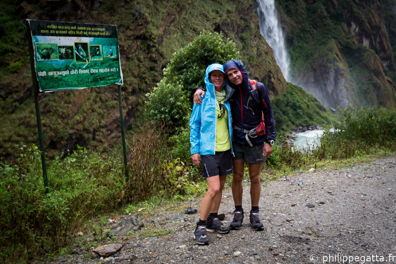
Great Himalaya Trail finish at Chhechet, Rolwaling (© P. Gatta)

The map of Great Himalaya Trail (GHT)

GHT map, courtesy of http://thegreathimalayatrail.org/
GHT map, courtesy of thegreathimalayatrail.org
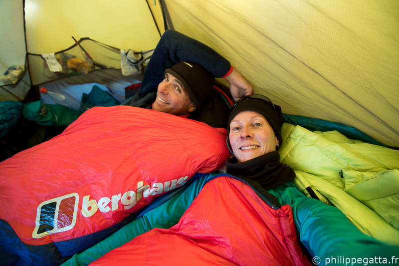


Anna and Philippe at Island Peak base camp (© A. Gatta)

Articles about this adventure

Dix pages de récit, interview et photos dans le numéro 15 de Wider (© P. Gatta)
Ten pages: story, interview and photos in #15 Wider (© P. Gatta)
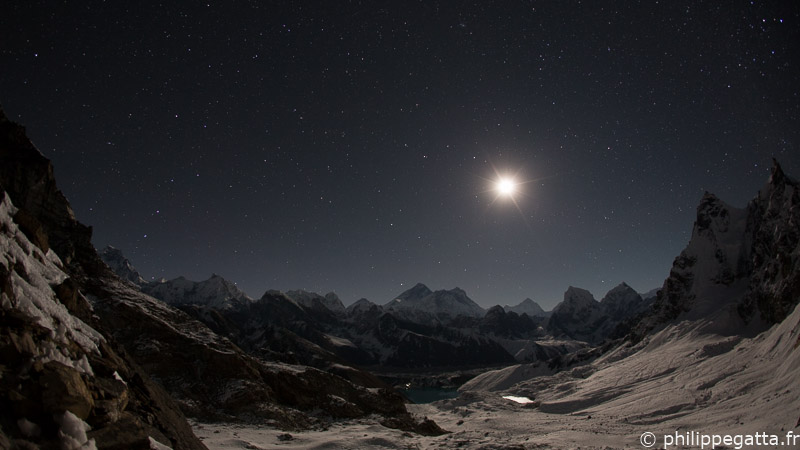
Moonrise over Everest (© J. McGuinness)
On Key

Top Stories

Mount Vinson - © Philippe Gatta

Mount Vinson 4892 m, Antarctica

Mount Vinson is the highest mountain of Antarctica, only 1200 km away from the South Pole. The challenges are the remoteness, extreme temperatures, wind but the route is not too difficult. Philippe was the 17th French to climb Mt. Vinson, his 6th 7 Summits.

Everest- © Philippe Gatta

Mount Everest 8850 m, Tibet

Mount Everest is the highest summit on earth. Philippe joined an international team to climb the Northeast ridge on the Tibetan side. Despite strong winds and changing weather, they reached top on May 24th.

K2 8611 m, Pakistan - © Philippe Gatta

K2 8611 m, Pakistan

K2 is the second highest mountain in the world and considered as the hardest of the 8000m peaks. Philippe and some friends tried to climb the Abruzzi Spur but have been stopped by challenging weather, rockfalls and a massive avalanche…

Great Divide Trail - © Philippe Gatta

Great Divide Trail (GDT), 300 Km across Canada

After the GHT and the Via Alpina, Anna and Philippe left for another long traverse across the Canadian Rocky Mountains. They planned to run 600 km along the GDT but nothing went as planned : rain, snow storm, bears, mud, mosquitoes and injuries. Ultimately they made 300 km in harsh conditions.

Khan Tengri - © Philippe Gatta

Khan Tengri 7010 m, Kyrgyzstan

Khan Tengri is the second highest mountain of the Tian Shan mountain range. Philippe and Yannick climbed the Progrebietsky route on the South Face and West ridge of Khan Tengri in just 9 days.

Karakoram - © Philippe Gatta

Gasherbrum II 8035 m, Gasherbrum I 8068 m

Philippe teamed up with Gorgan and Serap to climb Gasherbrum II (8035 m) and Gasherbrum I (8068 m). As often in Karakoram, the weather has been terrible and they couldn’t rich neither top. Nevertheless, the raw beauty of these peaks, the difficult access of the Baltoro and the tough conditions make it a place like no others.